NEW CELANO CENTER

renewal of the old city center public spaces
Sorry, this entry is only available in Italian. For the sake of viewer convenience, the content is shown below in the alternative language. You may click the link to switch the active language.

NEW CELANO CENTER

rigenerazione urbana del centro storico | Celano (AQ) | 2023

progetto vincitore


#spaziopubblico #urbandesign #arredourbano #infrastruttura #mobilità #sistemaintegrato #accessibilità #masterplan #piazza #strada #paesaggio #usimultipli

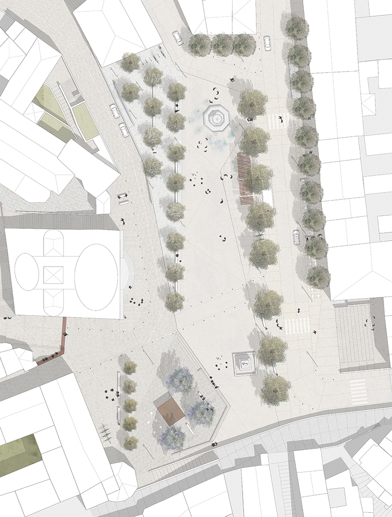
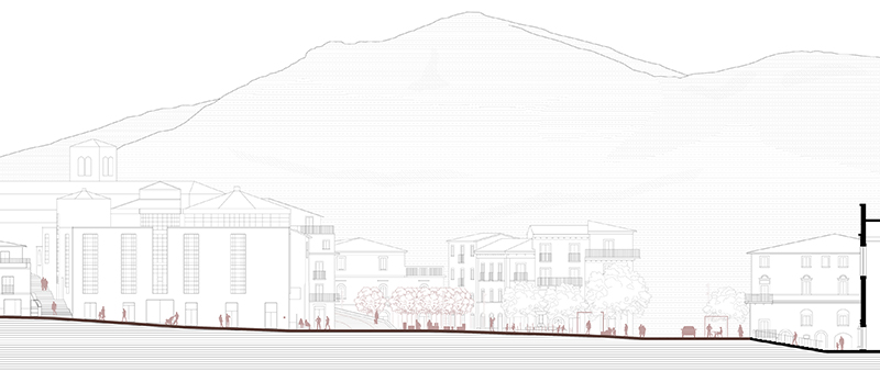
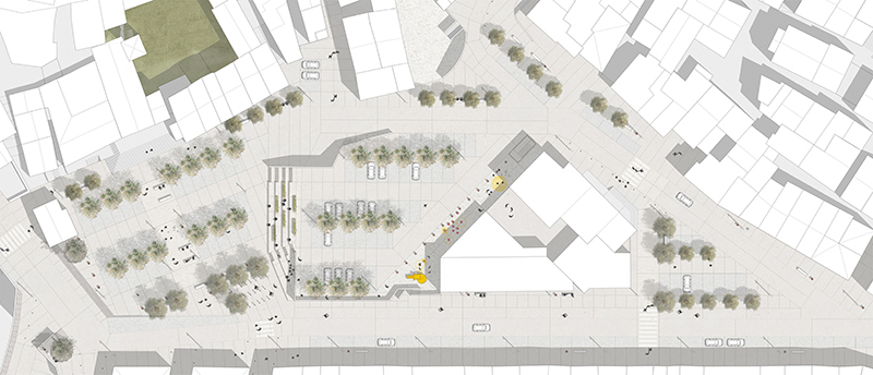
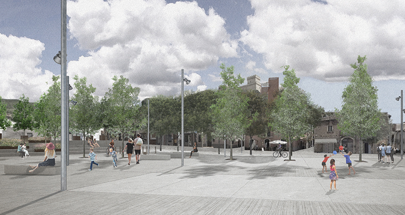
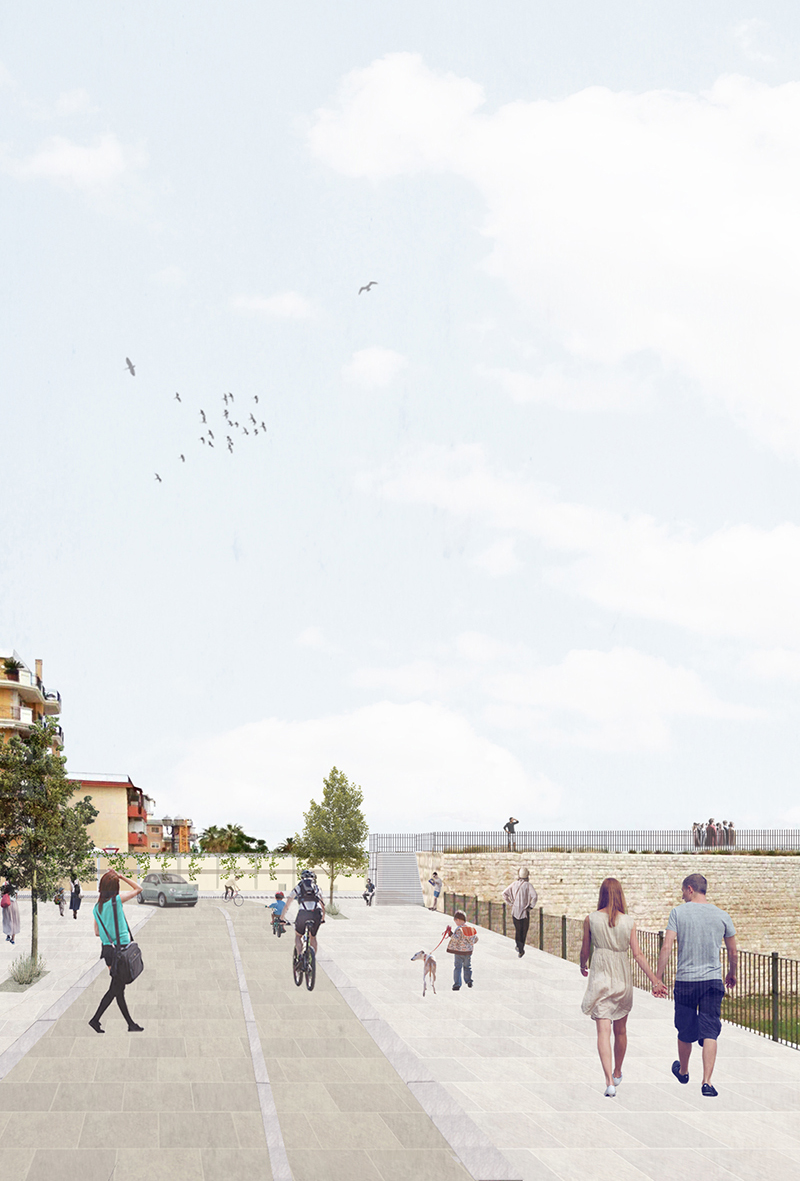
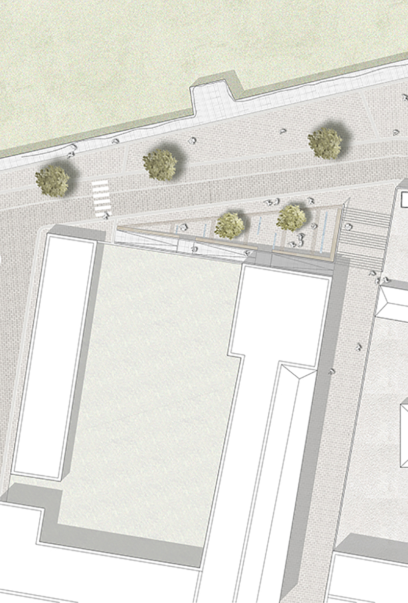
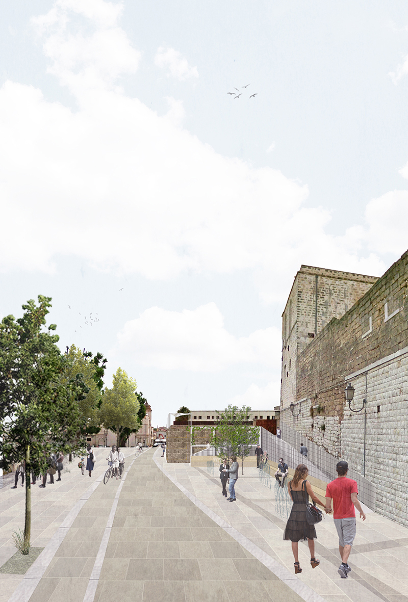
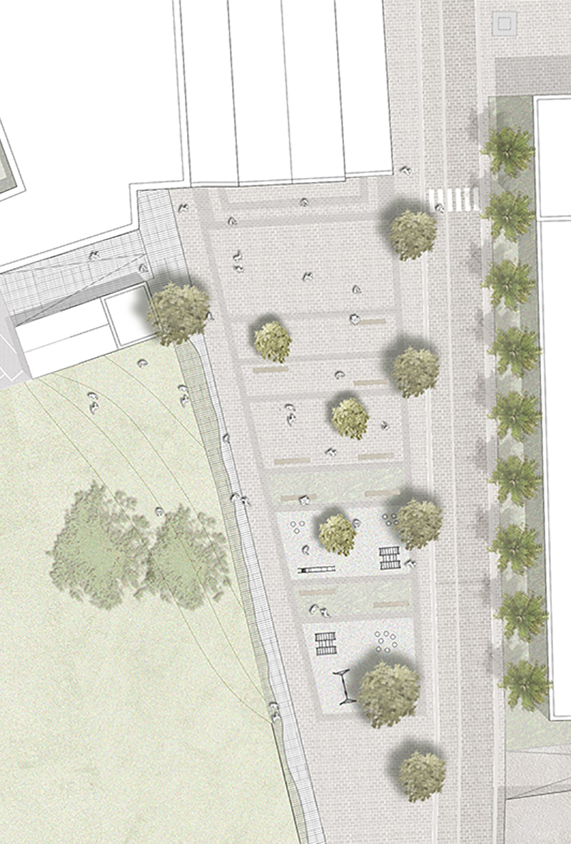
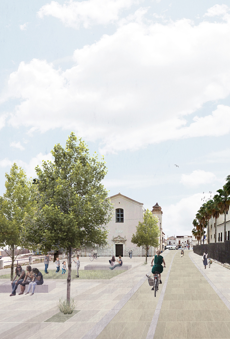
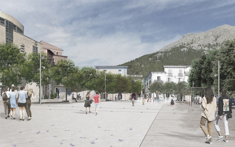
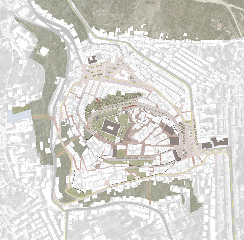
La proposta per Celano consiste nella definizione di un sistema integrato di mobilità carrabile, di percorsi ciclopedonali e spazi pubblici, capaci di mettere in relazione le diverse componenti funzionali, morfologiche e paesaggistiche del sistema urbano. Attraverso la riorganizzazione delle gerarchie dei percorsi, la messa in rete dei nodi attrattori e delle tracce visibili e invisibili che segnano i tessuti, antropizzati e naturali, sarà possibile evidenziare le eccezionalità del luogo e rafforzare la potenzialità turistica, ricettiva e commerciale del paese nell’ottica di uno sviluppo sostenibile, compatibile con le vocazioni e con le risorse del territorio. 

+

Gli interventi proposti sono volti al raggiungimento, in particolare, di tre obiettivi:

>> scaricare il centro urbano dal traffico veicolare:

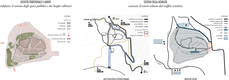
L’organizzazione di un anello di mobilità tangenziale permette di eliminare la carrabilità di attraversamento dei non residenti dal centro urbano, che diventa a prevalenza pedonale; alle estremità dell’abitato, tre parcheggi di scambio permettono di lasciare il mezzo privato e procedere verso il centro a piedi o con sistemi di trasporto sostenibile.

>> ridefinire il sistema degli spazi pubblici e dei luoghi collettivi, visibili e invisibili:

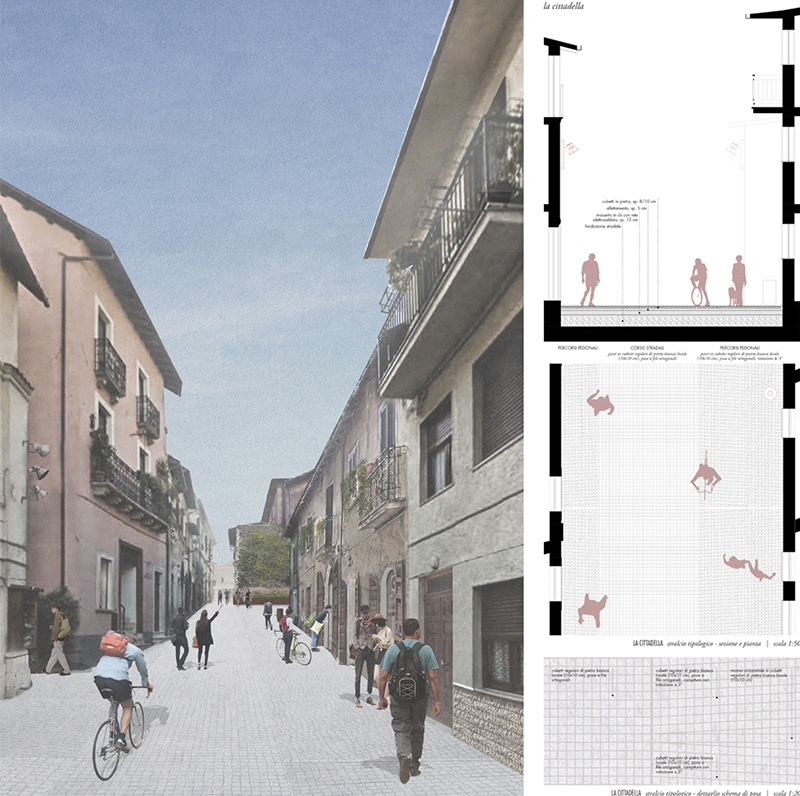
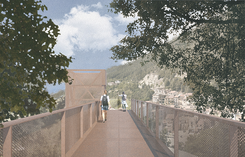
La limitazione della mobilità di attraversamento permette di configurare un sistema continuo e protetto di spazi pubblici, a vocazione turistica, ricettiva e commerciale. Si riconoscono tre ambiti urbani (la Cittadella, il Pomerio, l’Extramurale) con caratteristiche omogenee, in cui si ridefiniscono le reti dei percorsi tematici che ricostruiscono la storia nascosta, delle terrazze verso paesaggi lontani e degli spazi pubblici, che insieme alle due piazze IV Novembre e Aia, diventano i luoghi catalizzatori per la costruzione dell’identità urbana.

>> organizzare una visione coerente da sviluppare nel tempo:

La definizione di linee guida d’azione per i tre ambiti urbani riconosciuti come omogenei, permette di creare un sistema con delle regole generali che rispondono ad una visione a lungo termine, in cui i diversi interventi particolari possono essere realizzati nel corso del tempo, in momenti differenti, e adeguati secondo le necessità.

Perseguendo questi obiettivi si andrà così a rafforzare l’identità di Celano come luogo di eccellenza nell’accoglienza e nel turismo, predisponendola per accogliere le sfide che presenta la città di domani.
CREDITI

tipo: concorso di progettazione a procedura ristretta
risultato: progetto vincitore
cliente: Comune di Celano (AQ)
strutture e impianti: ing. Antonino Papasergio
FREESPACE

street renewal in Merano

FREESPACE

renewal of Corso della Libertà superiore | Merano (BZ) | 2022

second phase


#publicspace #slowmobility #urbandesign #streetfurniture

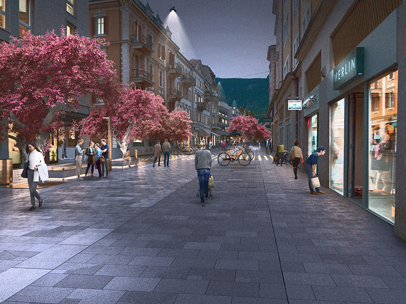
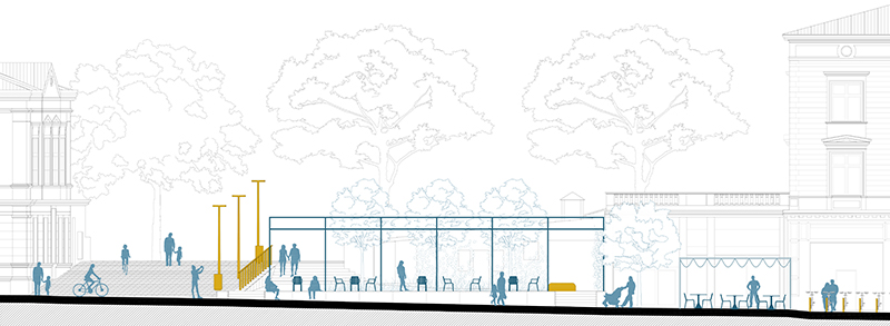
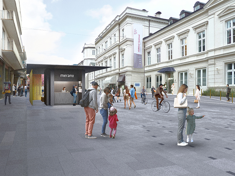
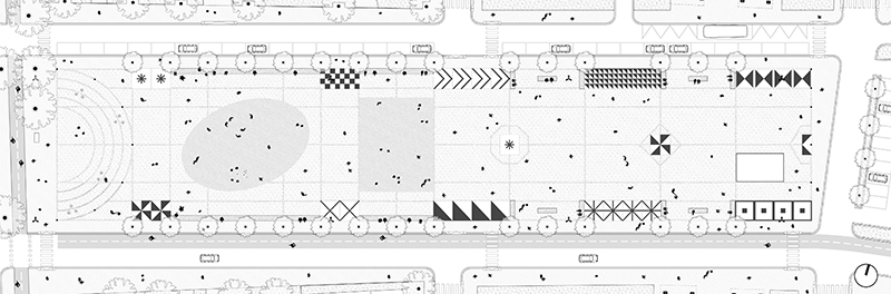
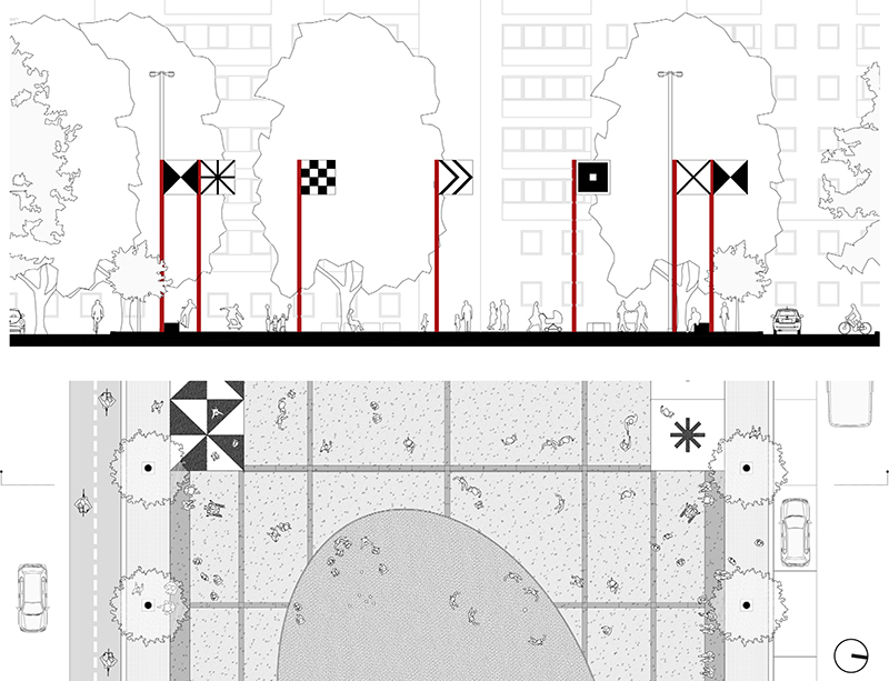
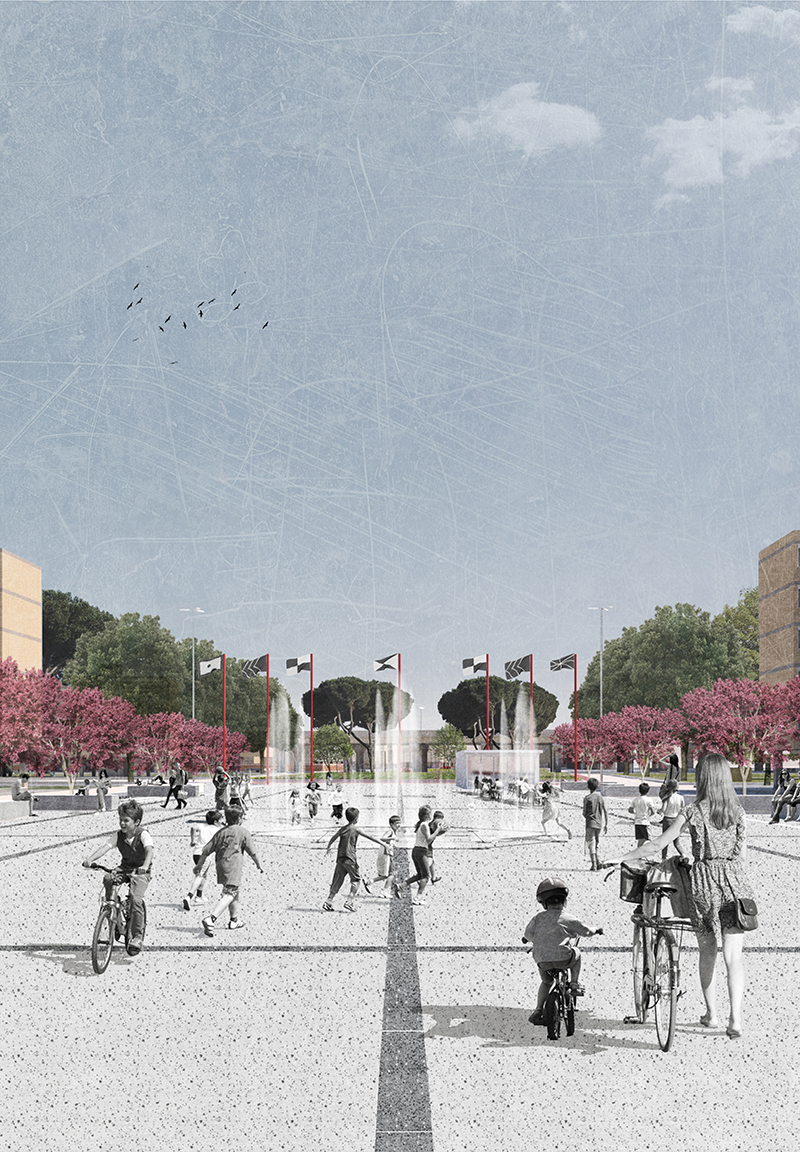
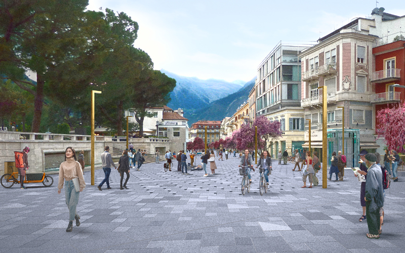
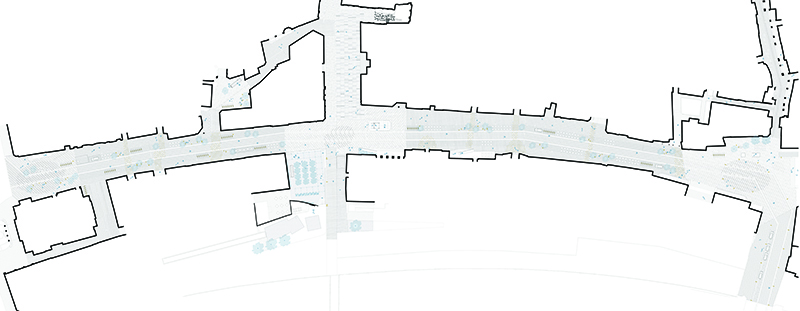
Corso della Libertà è per suo statuto fondativo un elegante viale fin de siècle. Ad oggi si trova in uno stato di disordine formale e visivo, in cui dominano la presenza delle auto e dei vari tentativi di separazione fra le parti. Uno stato in cui si è persa la chiarezza e la simbolica unitarietà del sistema.

L’obiettivo principale dell’intervento è fornire una maggiore qualità della vita a residenti, visitatori e imprese locali, ridefinendo le modalità d’uso di uno spazio realmente condiviso. Riammagliando le tracce e le memorie dei luoghi, reinterpretandole in chiave contemporanea, il progetto per Corso della Libertà definisce una struttura robusta, ma sottile ed elegante allo stesso tempo, in cui tracciare una solida linea di continuità nella memoria territoriale tra passato, presente e futuro.

+

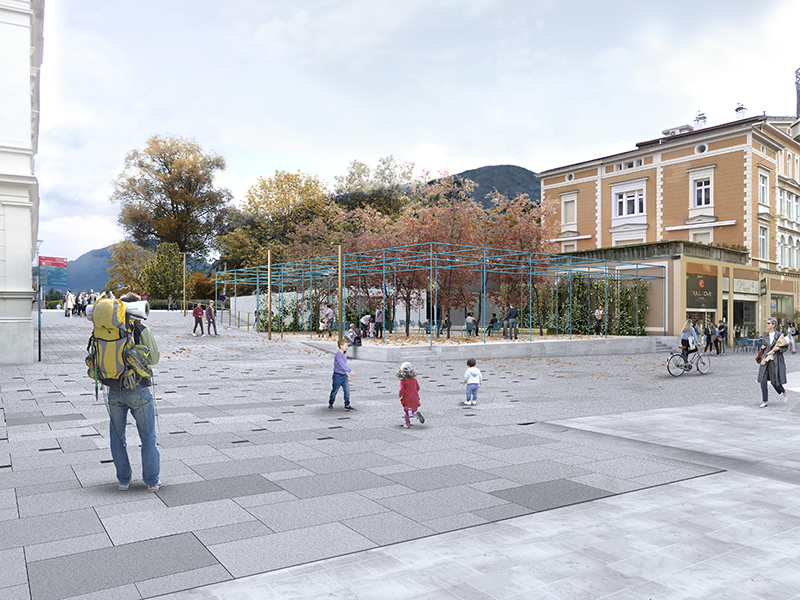
La struttura del progetto deriva dalla lettura del territorio, che ci racconta attraverso i suoi segni e le sue figure la storia della città. L’obiettivo consiste nel definire uno shared space, uno spazio pubblico continuo, fluido, senza soglie, accessibile a tutti, che reintesse la trama urbana alla dimensione territoriale e in cui tutti gli utenti, i mezzi e le differenti esigenze urbane convivono, regolandosi e rispettandosi reciprocamente.

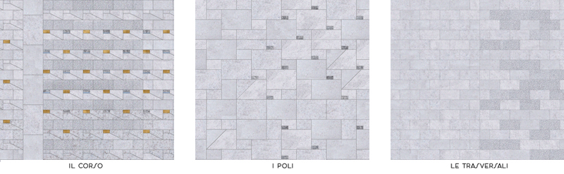
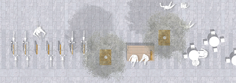
Il disegno dello spazio si configura quindi con una direzionalità prevalentemente longitudinale, individuabile in una sequenza di fasce, distinte tra loro da leggere variazioni nella pavimentazione. Alcune di esse, con una dimensione prefissata, sono intese come delle fasce ‘attrezzabili’ in cui posizionare i diversi elementi di arredo e che rispondono alle diverse necessità funzionali. Questo tipo di organizzazione determina un ordine molto chiaro per i diversi elementi e funzioni che, nell’alternanza di vuoti e pieni, non necessiteranno di ulteriori elementi di demarcazione.

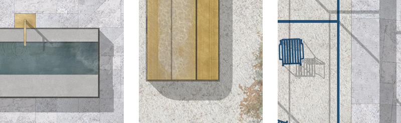
L’intersezione con la trama trasversale genera dei punti di tensione, dei poli eccezionali che suggeriscono, lungo il fluire omogeneo del percorso direzionato, modalità, temporalità e possibilità d’uso differente. Nell’immagine unitaria proposta e nell’apparente omogeneità cromatica, si possono individuare così delle piccole variazioni che si manifestano attraverso l’uso di pattern e accenti: delicati tagli, cambi di formato nelle lastre, sfumature nella finitura superficiale e piccoli e preziosi inserti nella pavimentazione suggeriscono informalmente agli utilizzatori dello spazio direzioni e possibilità d’uso.

Per definire il carattere del corso si sceglie di fare riferimento all’immaginario fin de siècle, che ha inciso profondamente sull’identità urbana, definendone i suoi tratti salienti, sia sul piano fisico che semantico, selezionando l’oro e il cobalto come materiali e colori prevalenti per gli oggetti di arredo e per gli altri elementi fuori terra. Il sistema vegetazionale invece si caratterizza attraverso l’impianto di alberi di melo, al fine di introdurre un aspetto peculiare e fortemente caratterizzante del paesaggio agricolo e produttivo meranese all’interno del tessuto urbano.
CREDITS

type: restricted design competition
result: second phase
client: Comune di Merano (BZ)

VILLAGGIO OLIMPICO MMXIX

urban park and public space

VILLAGGIO OLIMPICO MMXIX

urban park and public space | Roma | 2019

second place


#urbanpark #publicspace #urbanregeneration

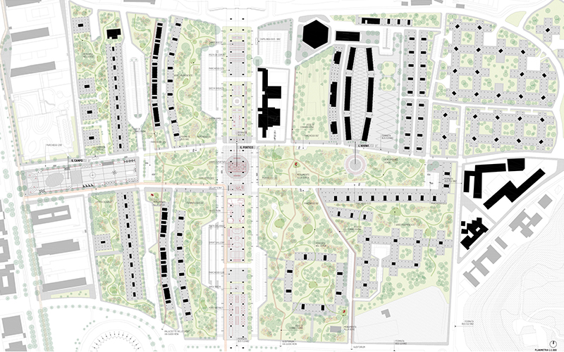
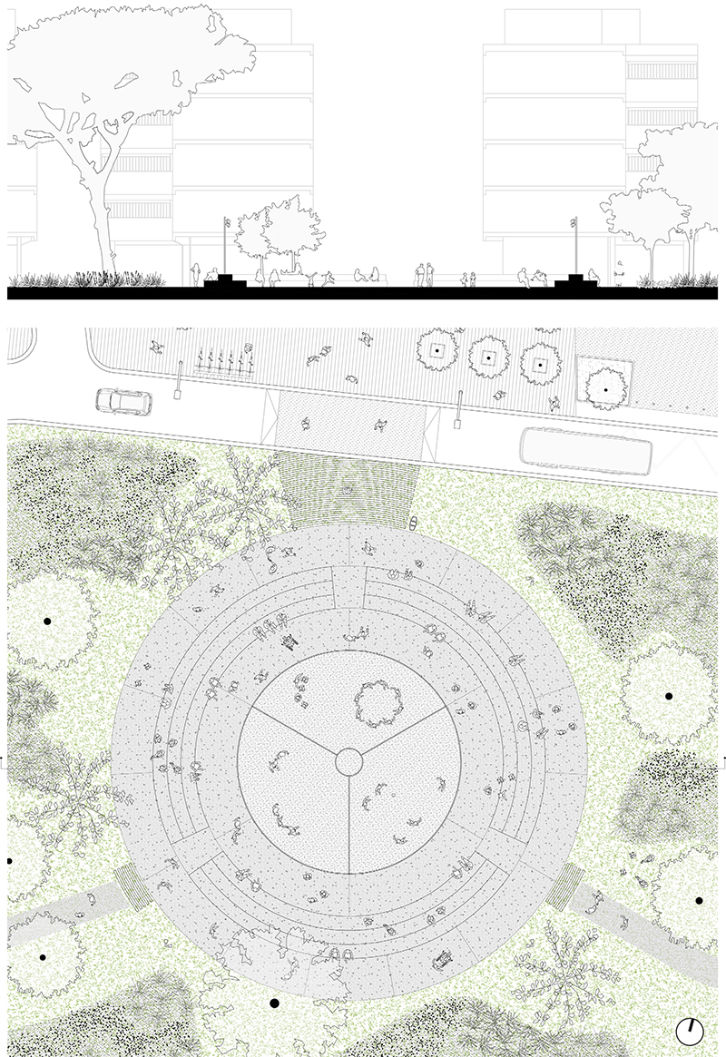
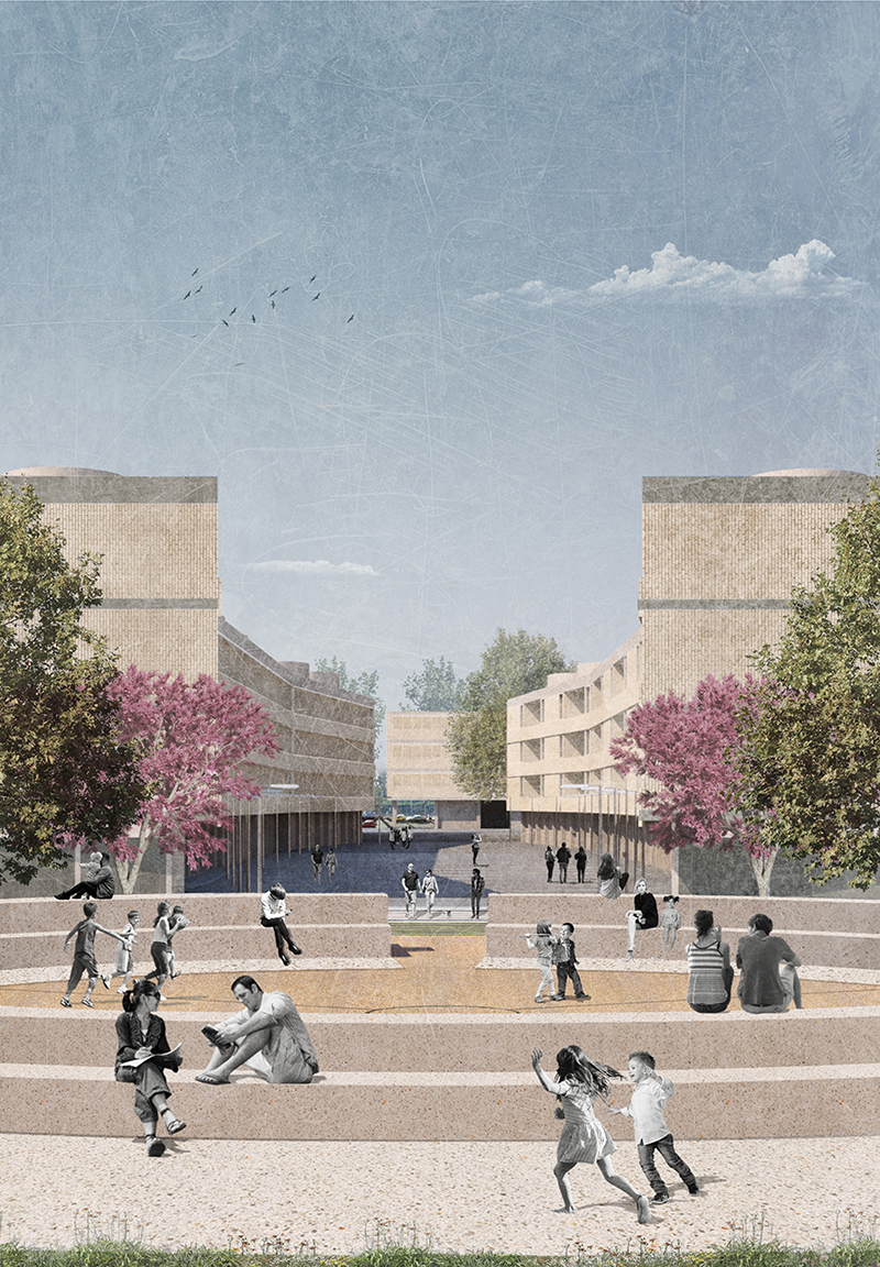
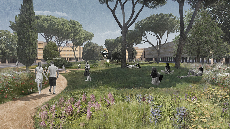
The project for the redevelopment of the urban area of ​​the Villaggio Olimpico is a unique opportunity: to work in a central area, inserted in a wider sector in transformation, producing public spaces.
The design solution develops from a few considerations on the existing state of things, in particular regarding the relationship between the amount of public space and the urban density of people and activities necessary to activate it. Therefore, the project for public space is based on three guiding principles that determine the spatial choices:
– concentrating > interventions, people and activities in a few well-defined poles, by form and characteristics, social gatherings, capable of creating small concentrations of urban vitality (the Campo, the Portico, the Arena);
– clearing > as much as possible the ground floor from the incongruous elements that, obstructing perceptions and views, contradict the idea of ​​continuity on which the designers of the Villaggio Olimpico based their project;
– connecting > the new polarities and existing elements, defining a network of routes and connections, physical or visual.

To develop a transformative intervention capable of regenerating the entire urban area, we  operated in a strategic manner, organizing the project in four phases and structuring a development strategy that, on one hand, is capable of absorbing alternative methods for the realization, management and maintenance of public assets and, on the other, is sufficiently flexible to respond to requirements, opportunities and needs, which by their nature change over time.

Esempio didascalia (2019) – info > link
CREDITS

type: restricted design competition
result: second place
client: Roma Capitale

BARI COSTA SUD

redevelopment of the coastal area

BARI COSTA SUD

redevelopment of the coastal area | Bari | 2018


#urbanregeneration #bikemobility #pedestrianmobility #publicspace #urbandesign #masterplan

+

CINQUE AZIONI PER LA COSTA SUD

  1. riconoscere la discontinuità come valore

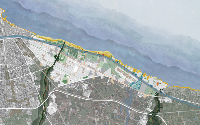
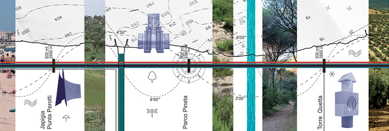
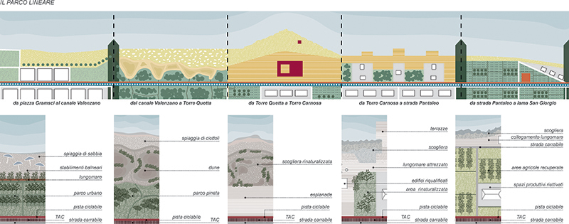
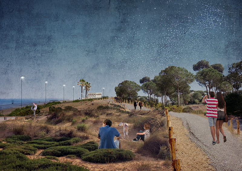
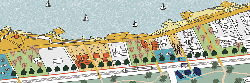
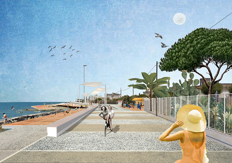
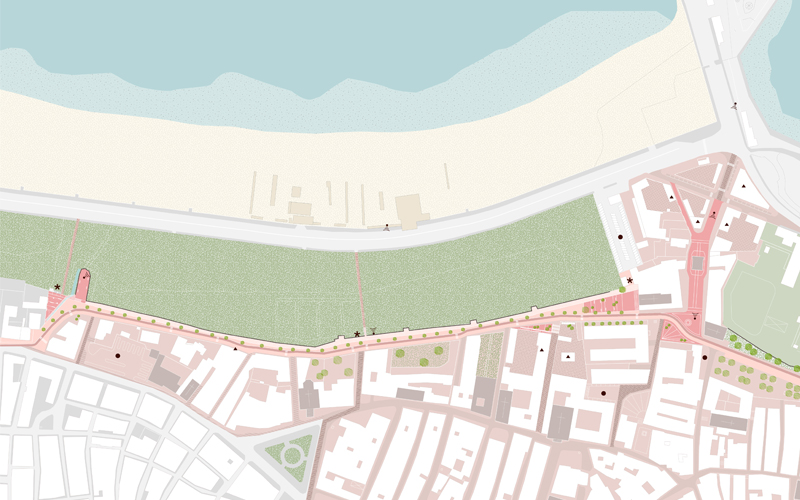
L’area di progetto è caratterizzata da un paesaggio frammentato, la cui identità non è univoca. Fino al canale Valenzano, si riconosce una forma della città, definita da espansioni concentriche: qui è sufficiente il riammagliamento con la città storica attraverso mirati completamenti della rete stradale e dei tessuti edilizi. Oltre la lama, la pianificazione dell’ultimo secolo ha generato un tessuto discontinuo, costituito da un sistema di isole indipendenti ed eterogenee. Riconoscendo la discontinuità del costruito come un valore da preservare, il progetto rafforza la natura dei diversi ambiti come realtà autonome ed indipendenti, da densificare e ridefinire nei caratteri e nei bordi. Il vuoto, nella forma di parco lineare, sarà l’elemento strutturante, capace di tenere insieme le diversità e ridefinire l’identità del luogo. 

  1. strutturare la spina dorsale

Affinché la discontinuità non significhi segregazione e marginalizzazione, occorre garantire condizioni ottimali di accessibilità. La proposta consiste nel trasformare il tracciato ferroviario, fino ad oggi una cesura invalicabile nel territorio, nella spina dorsale capace di strutturare la trasformazione, convertendolo nel TAC (Tram dell’Arte Costiera), un’importante asse di trasporto pubblico locale da relazionare ad un sistema capillare di mobilità ciclopedonale, che possa costituire realmente un’alternativa alla mobilità su gomma.

  1. individuare i poli

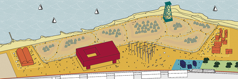
Il sistema lineare della mobilità pubblica è potenzialmente un sistema omogeneo. Il rafforzamento dei nodi esistenti e l’inserimento di nuovi poli accentratori lungo il suo percorso permette di costruire dei momenti che si configurano come delle pause di differente scala, condensatori di vita e di vitalità. I poli lungo la linea del TAC, alcuni già esistenti, altri di nuova costituzione (il parco marittimo, il polo di Torre Carnosa, dell’insediamento costiero di San Giorgio, il distretto agro-marittimo), sono di diverso tipo e rilevanza. La trasformazione è direzionata, da un lato, verso funzioni capaci di costituire attrazione per la scala territoriale e, dall’altro, verso lo sviluppo di un sistema continuo di spazi comunitari per la cultura, l’educazione, lo sport e il leisure, capaci di costituire attrazione e identità alla scala locale. 

  1. lavorare sui bordi

Questa parte di città, per sua natura, si è sviluppata all’interno di fasce longitudinali, parallele alla costa e delimitate dalle linee infrastrutturali, con scarsi punti di contatto e connessione trasversale. La sfida consiste nel rileggere queste fasce, reinterpretando il concetto di limite non come cesura, ma come territorio di mediazione fra le parti. Nel progetto le aree di bordo assumono quindi un valore particolare, sia come punto di incontro che filtra realtà diverse (paesaggio costiero e retrocostiero, tessuti insediativi, sistemi naturali), sia luoghi ben definiti, dotati di una propria identità, che hanno la possibilità di diventare per il territorio una risorsa eccezionale perché specifica del luogo.

  1. evitare il consumo di suolo: riusare, liberare, densificare, intensificare

Il momento di crisi attuale non permette errori, né sprechi. Serve agire in maniera strategica, traendo il massimo beneficio dalle risorse già disponibili. Pertanto il progetto si fonda su quattro principi. Riusare l’esistente (edifici dismessi e spazi scarsamente definiti), prevedendo anche ri-attivazioni temporanee per innescare le prime trasformazioni. Liberare il fronte mare e l’ambito retrodunale da tutti quegli elementi incongrui che, se non possono essere riutilizzati, dovranno essere demoliti. Densificare, completando i tessuti esistenti, così da preservare il vuoto, naturale o minerale, come elemento di riconnessione fra le parti. Intensificare di funzioni e attività, puntando sulla mixitè funzionale, tipologica, formale.

CREDITS

type: ideas competition
client: Comune di Bari
urbanism: arch. Mauro Baioni

EN ESCENA

urban stage

EN ESCENA

urban stage | Arrecife, Lanzarote, Spain | 2018


#urban #square #publicspace #flexibility #shade #sign #frame #streetfurniture #market #events

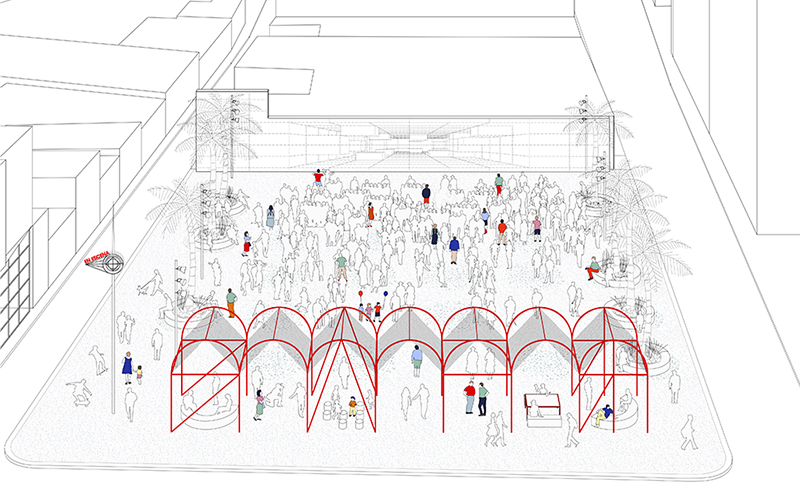
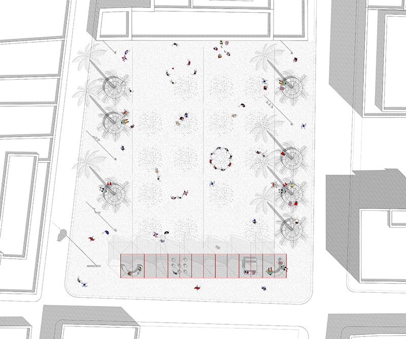
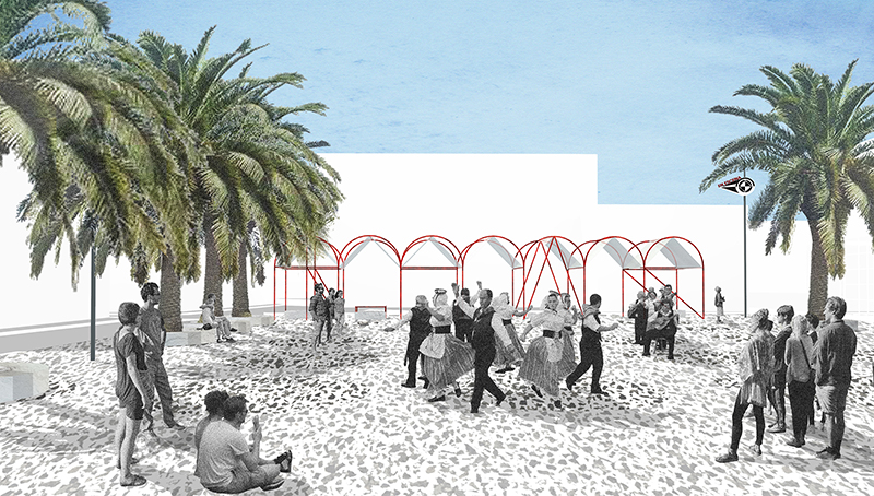
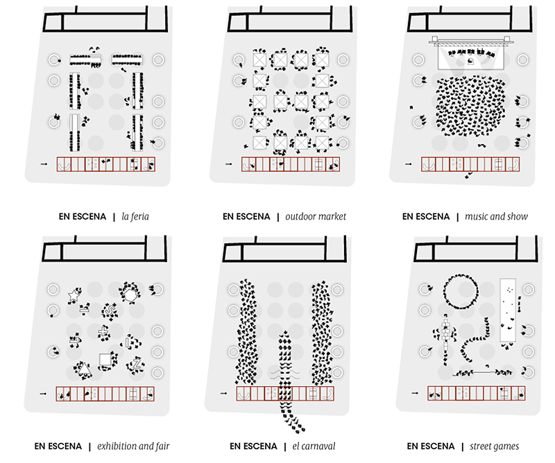
EN ESCENA is an urban stage. A place where, on one hand, the representation of everyday life is put into act, with its slow rhythms, made of encounters, exchange and sharing for the construction of a community; on the other, a place, a stage, that can accommodate the unexpected, the collective rites, and the unpredictable urban.

+

The first act consists in defining the space: naming it and making it recognizable. Going EN ESCENA, as a proper noun, motion to place, but also going EN ESCENA, meant as being main actors of the transformation of space. Along Calle Betancort, a tall post with a lighted and mobile sign, which refers to Manrique’s flags and wind sculptures, becomes a perceptive reference point.

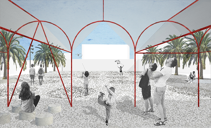
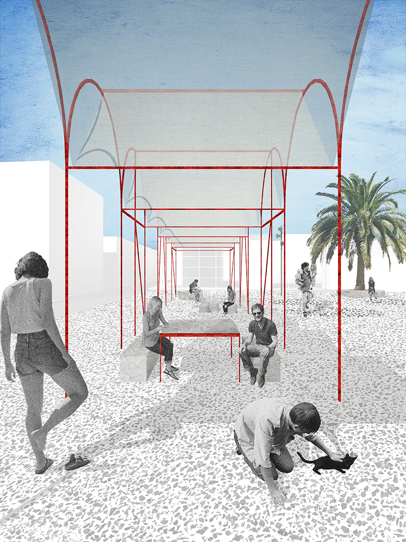
Beside it there is the foyer, a light structure of red steel over which a canvas is fixed for a comfortable shade. Under the frame a few fixed elements are arranged, the minimum infrastructure to meet the needs of everyday life (sit, play, rest, stay together…). The furniture, heavy and massive, balances the lightness of the frame and canvas. The foyer represents the threshold to overpass to enter a world where everything is possible, but also the place to entertain yourself and meet before watching the show of life.

Along the other two sides, as galleries of a theater, there are places to sit and observe what happens on the main scene. A system of circular benches developed around ground vases designed to accommodate palms.

Finally, the parterre, the large surface left as free as possible to stage anything that urban life could need. The continuous and undifferentiated surface, in light concrete mixed with dark basaltic stone, is measurable through the insertion in the pavement of circular geometries, useful for the placement of temporary fittings (installations, boxes for markets, etc.).

CREDITS

type: ideas competition
client: reTH!NKING_architecture competitions, municipalità locale

WANDERWALL

renovation of the path along the ancient Walls

WANDERWALL

renovation of the path along the ancient Walls of Carmine | Barletta (BAT) | 2017


#publicspace #urbanregeneration

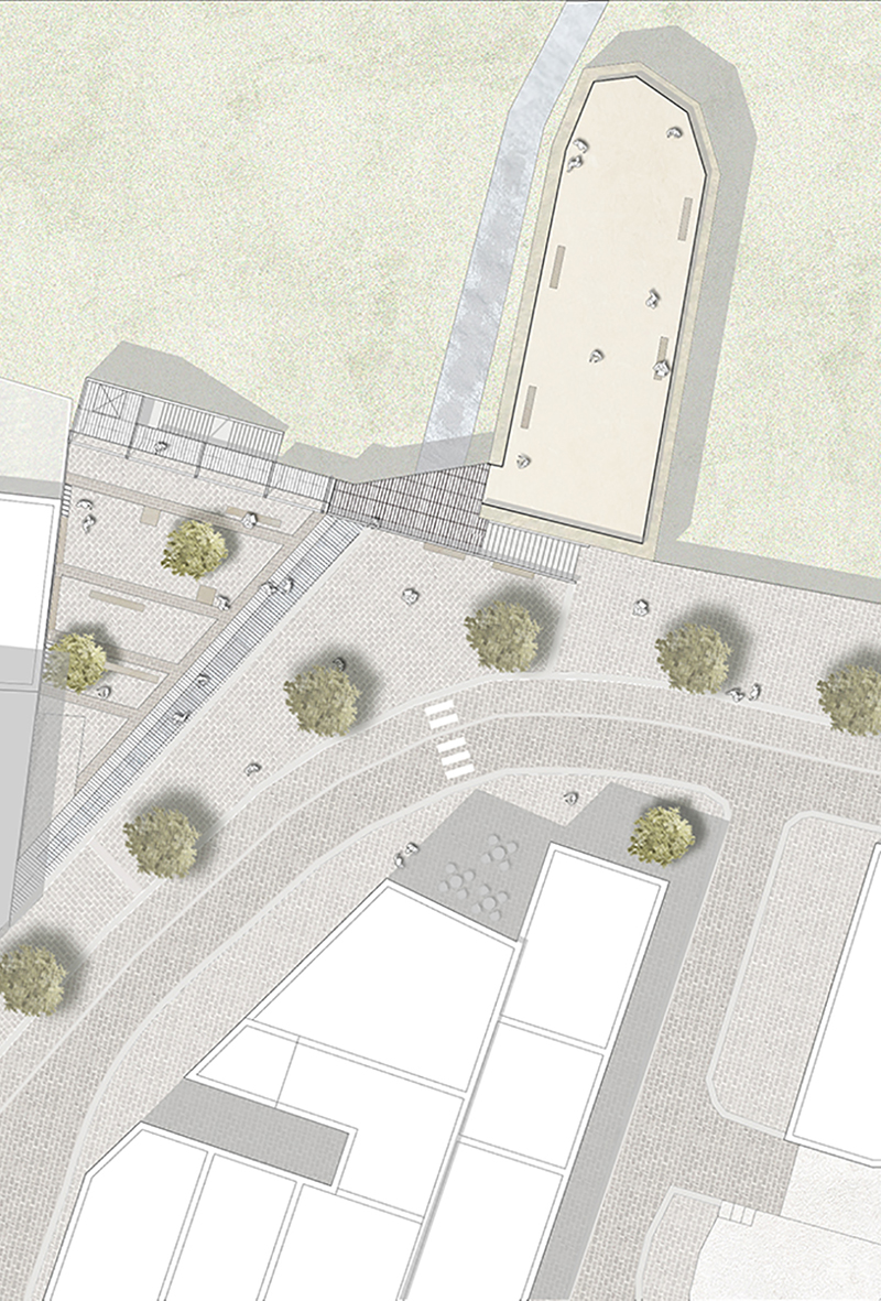
WANDERWALL propone di ridefinire l’ambito del lungomura come luogo in cui recuperare i caratteri propri del luogo, sovrapponendo le tracce del passato con nuovi significati che rispondono alle necessità della città contemporanea. WANDERWALL è uno spazio lento e contemplativo, un percorso continuo che offre la possibilità di fermarsi e di prendere consapevolezza del senso e del valore del territorio.
Infatti la parola wander ha un doppio significato. Vuol dire innanzitutto passeggiare, muoversi lentamente all’interno di un ambito protetto e sicuro, attrezzato per prendersi una pausa dai ritmi, rumori, odori della città. Ma wander significa anche divagare, prendere altre strade, magari non le più scontate, e scoprire l’inaspettato e la complessità dei luoghi; vuol dire perdersi, per poi ritrovare nuovi simboli e significati, che nella loro stratificazione nell’immaginario collettivo andranno a definire l’identità contemporanea del luogo.

+

WANDERWALL definisce il sistema lineare del percorso lungomura, interpretato come un unicum continuo ed integrato, fondato su un chiaro impianto di mobilità lenta e su sequenze di spazi pubblici e di spazi privati ad uso pubblico.Un luogo autonomo, caratterizzato da una sua propria riconoscibilità e immagine complessiva, sul quale si innestano degli spazi più ampi, ognuno declinato secondo una specifica vocazione, suggerita dalle potenzialità dei luoghi stessi. La trasformazione di questi spazi ad oggi indefiniti in luoghi costituirà la miccia per innescare nuovi interventi (pubblici e privati) nei numerosi spazi potenziali disponibili adiacenti all’area di progetto (edifici dismessi e spazi sottoutilizzati), incentivando così la cultura, il turismo, il commercio e la nascita di nuove economie locali.

CREDITS

type: concorso di idee
client: Mibact, CNAPPC

THE MEXTROPOLI CUT-OUT SET

urban device for adaptable public space

THE MEXTROPOLI CUT-OUT SET

urban device for adaptable public space | Ciudad de México, Mexico | 2015

third place


#publicspace #flexibility #multipleuse #events

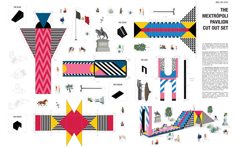
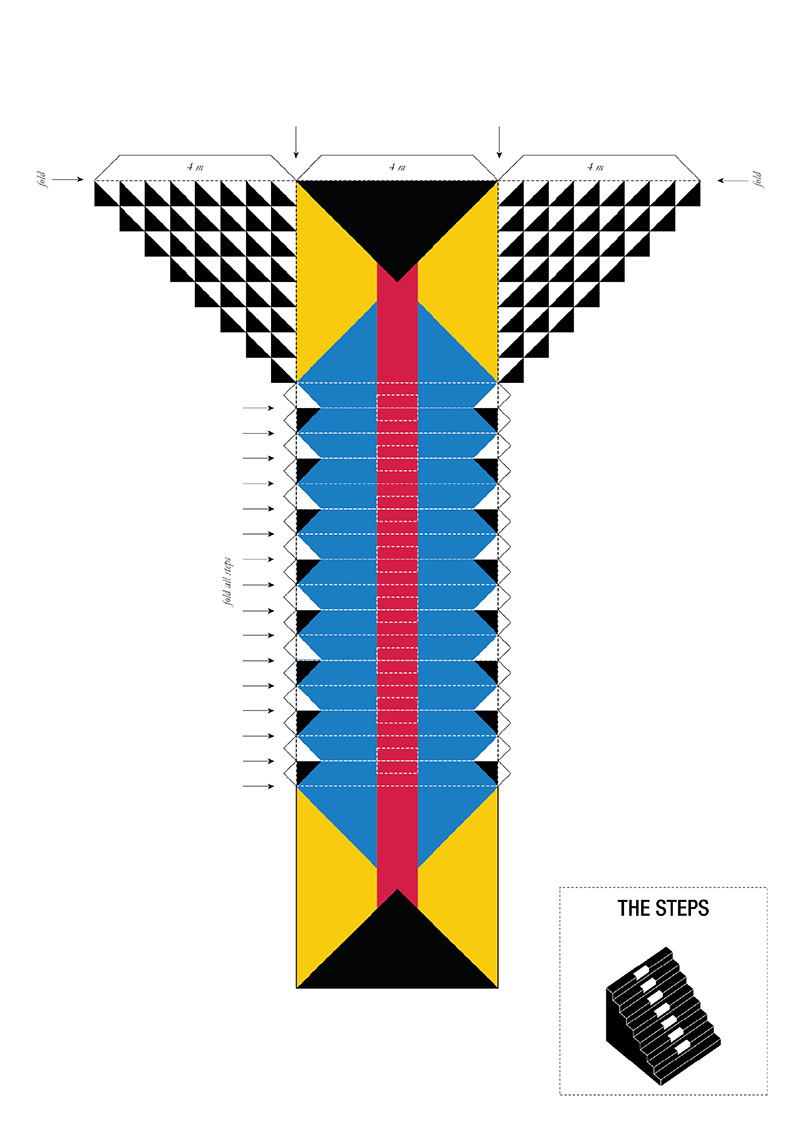
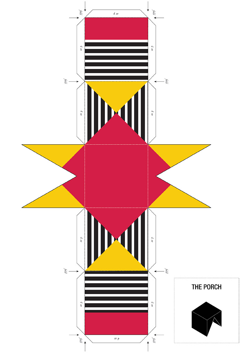
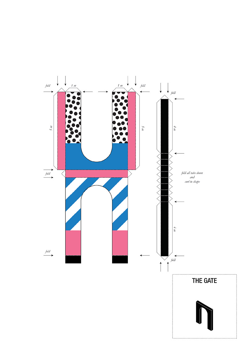
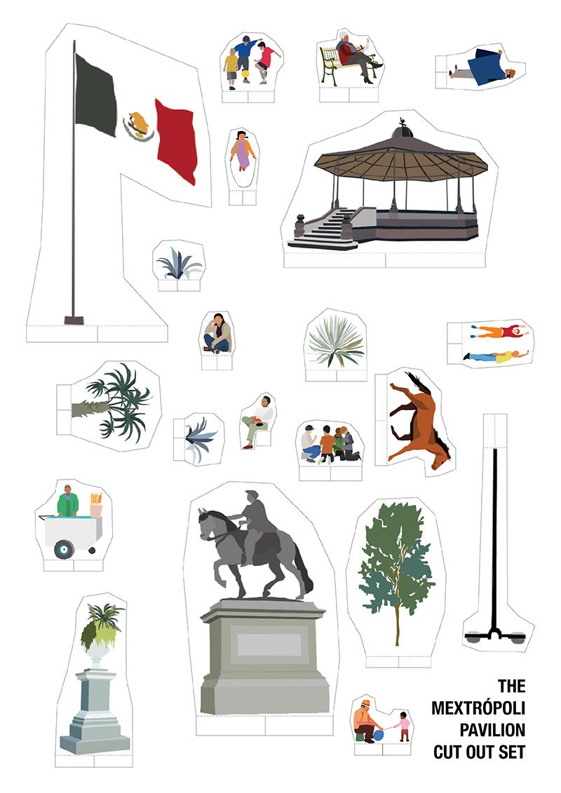
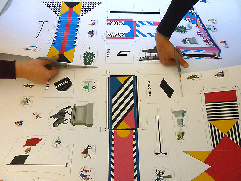
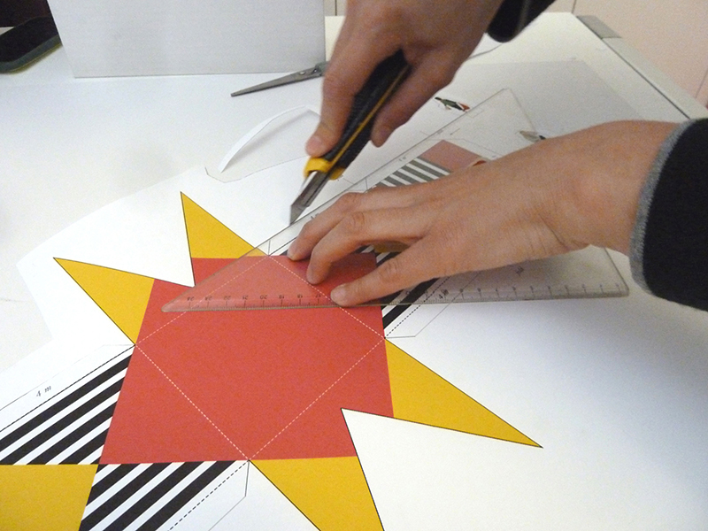
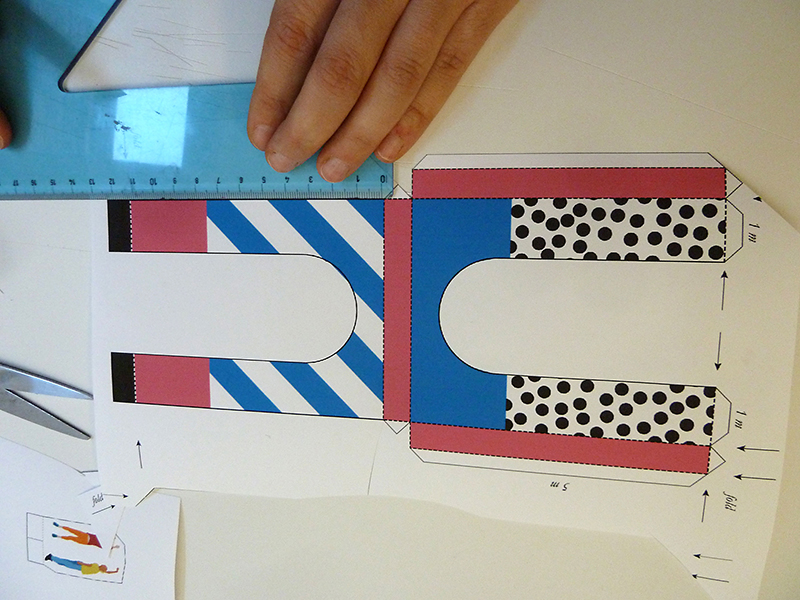
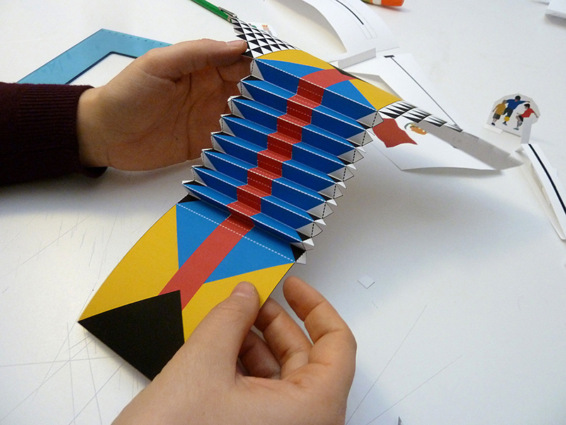
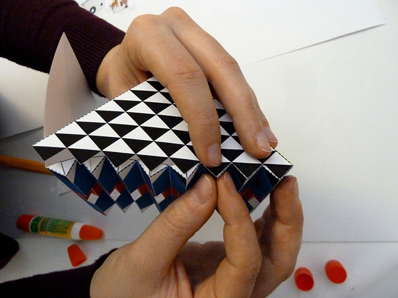
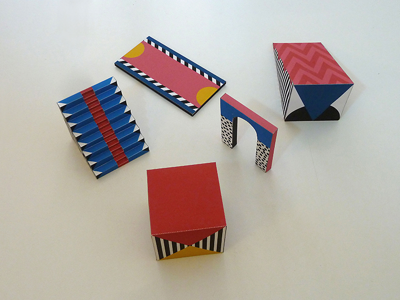
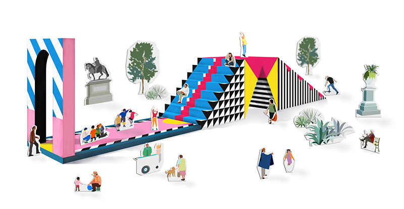
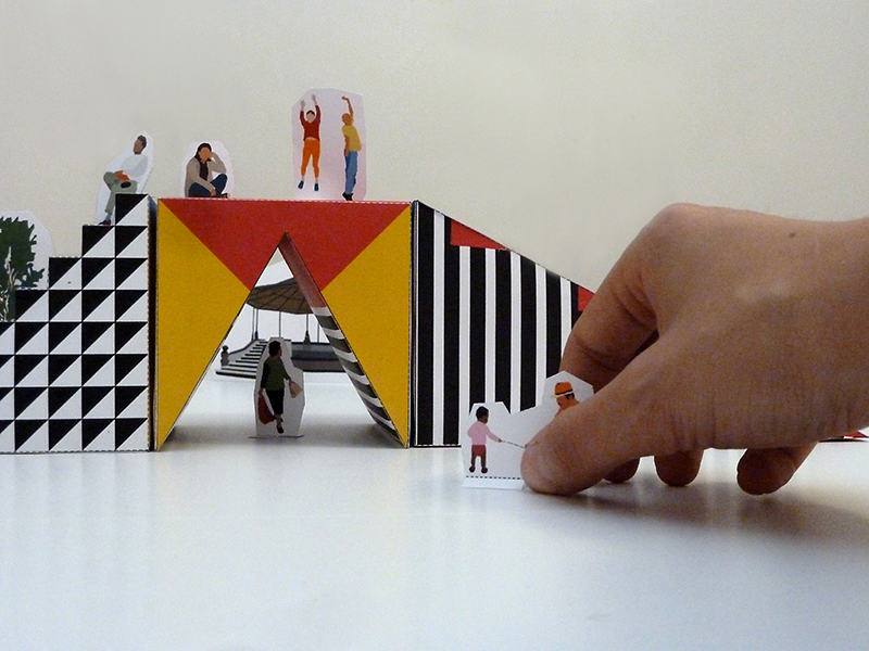
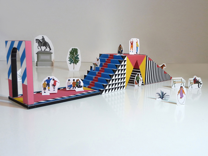
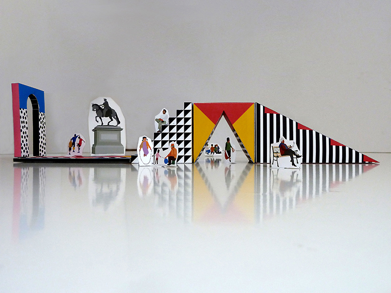
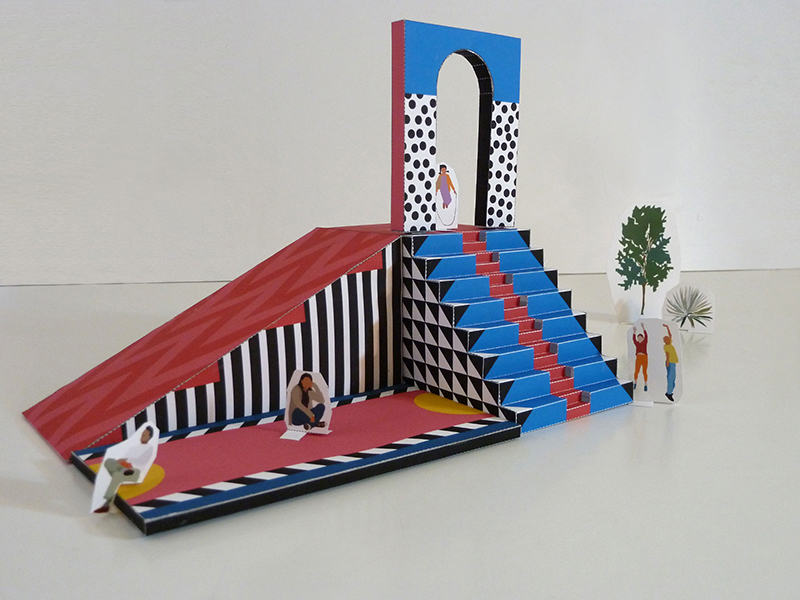
The Mextrópoli Pavillion cut-out set is an urban device, a set of elements that freely arranged in the city creates recognizable places where relations and encounters are favored. The space generated by the Mextrópoli Pavillion cut-out set is an always different public space, defined by how each urban actor interprets the elements and interacts with them. The cut-out set designed for this pavilion, refers to the idea of a public space where people are encouraged and invited to interact in a playful and recreational way, as if the elements where hand built paper toys, for a more familiar and social relation with the contemporary city.

+

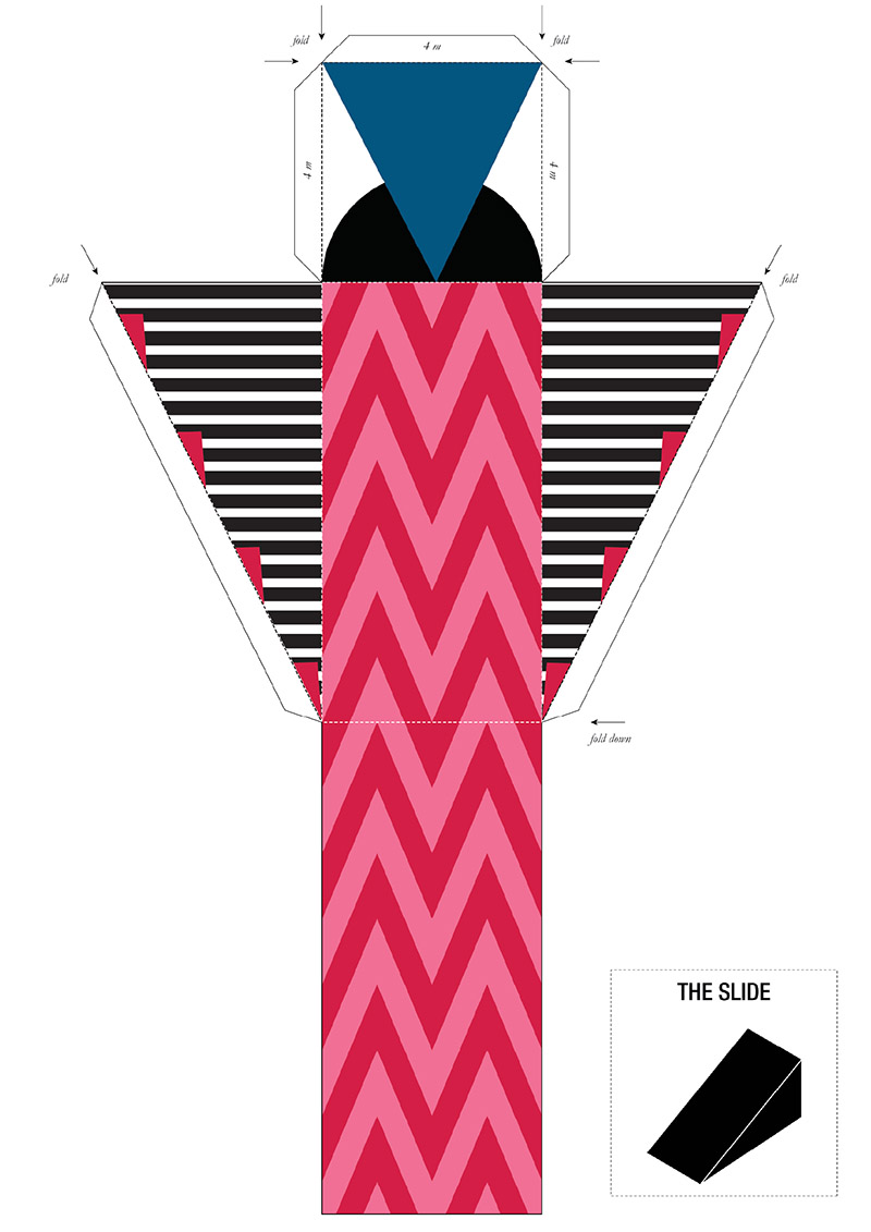
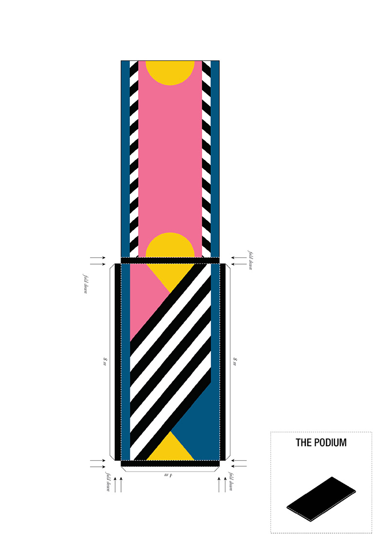
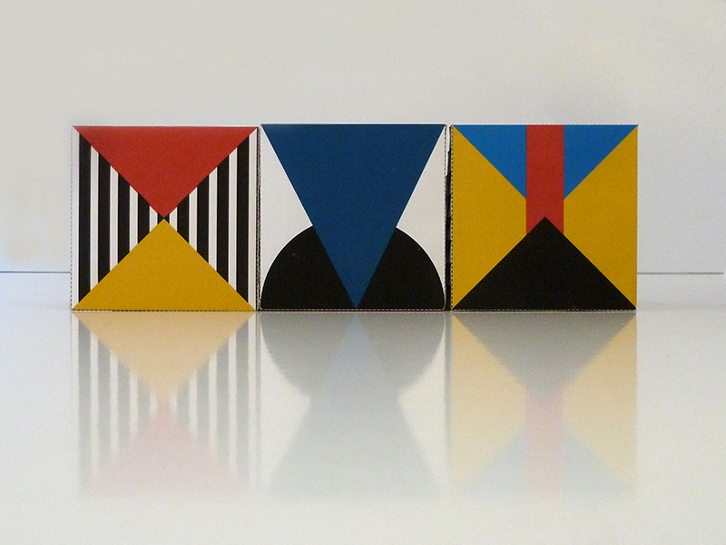
The Mextrópoli cut-out set provides five simple elements, five archetypes of urban space: the steps, to sit on, to climb and look from above for a different perspective; the gate, a threshold to cross to enter a different space, a structure to frame a particular view or a backdrop for an activity; the slide, to climb, to lie on, to roll on; the porch, a place to enter, a kiosk (an exhibition area, bar, shop, entrusted to someone it can generate an income to cover the costs of construction and maintenance); the podium, a clearly identified space, a carpet, a play field, base for activities. The objects can be assembled and reorganized in countless configurations, infinite possible landscapes that will generate spaces always new and suitable for different places and needs.This spatial image corresponds to our idea of public space: simple, adaptable and recognizable, theater of the encounter and discussion between the different actors the operate in the urban space.

CREDITS

type: ideas competition
result: third place
client: Arquine

GUARDA-MI

redevelopment of the Cavalcavia Bussa

GUARDA-MI

redevelopment of the Cavalcavia Bussa | Milano | 2014

winner – in progress


#publicspace #infrastruttucture #bikemobility #urbanregeneration #urbandesign #multiplieuse #temporary #flexibility #playground #sportfacilities

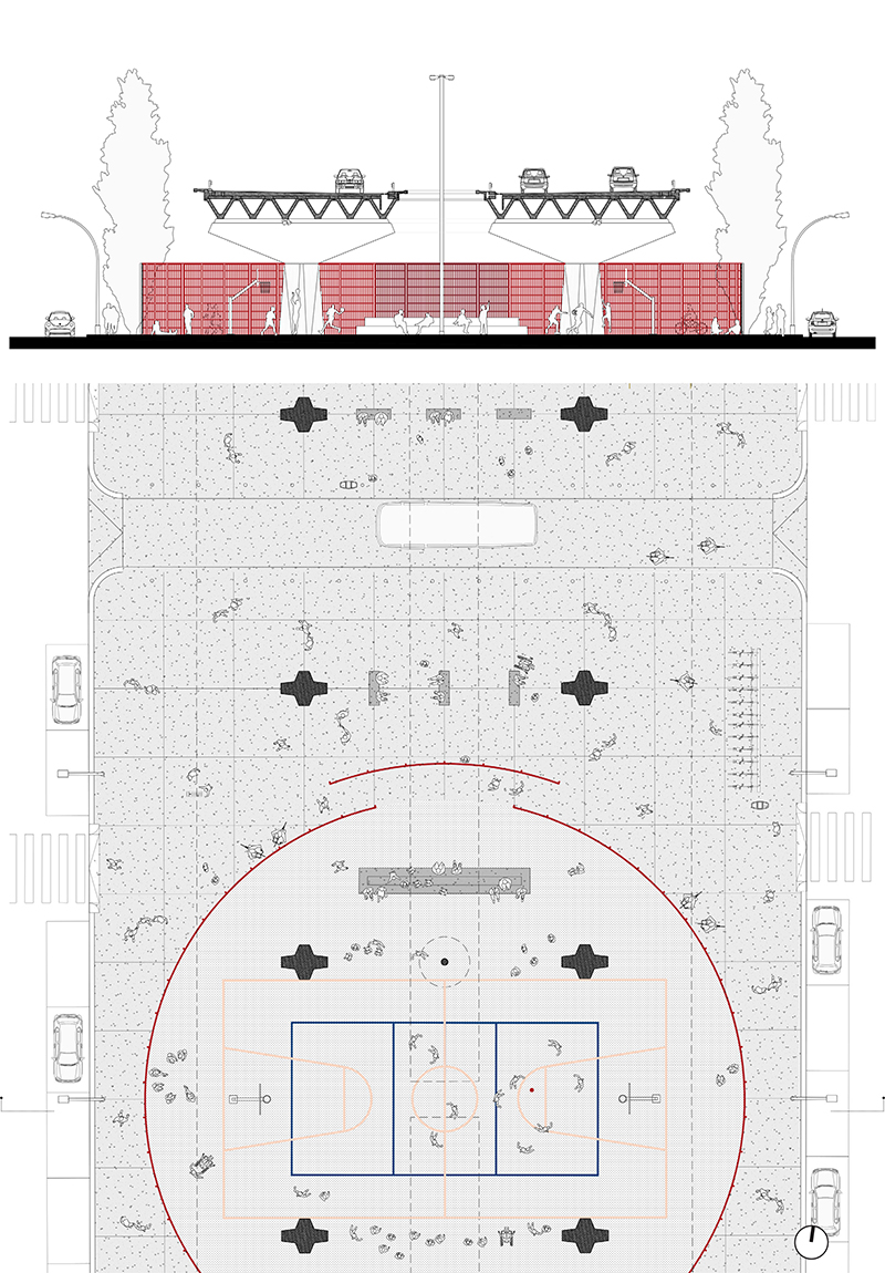
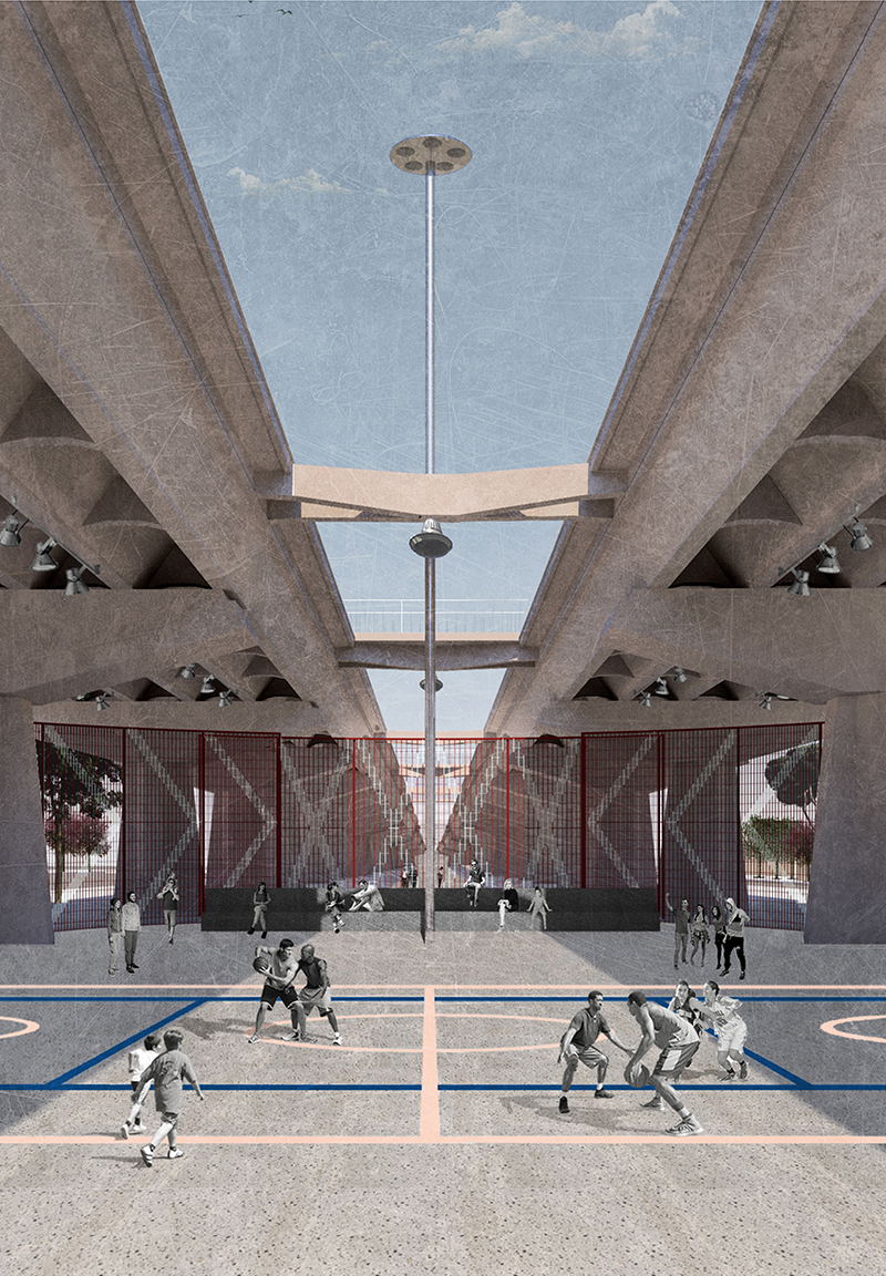
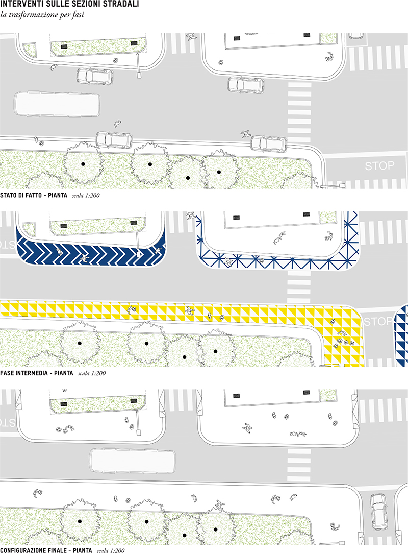
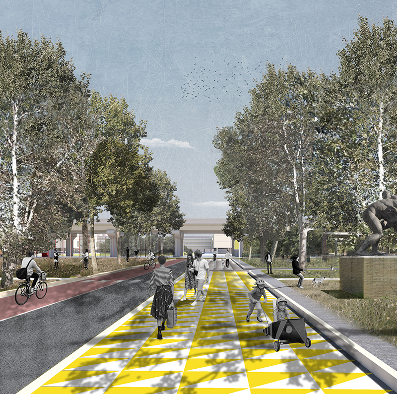
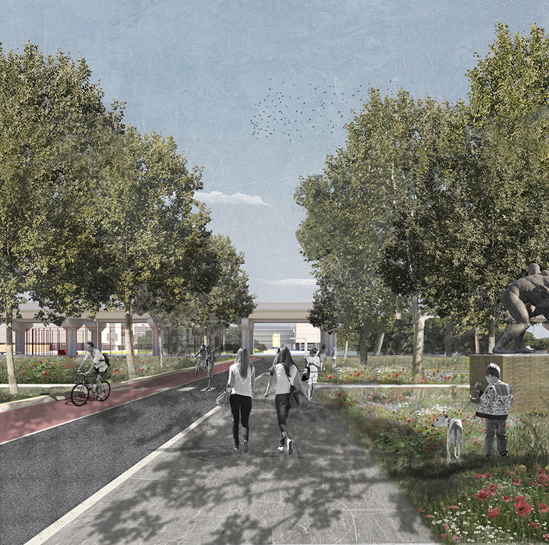
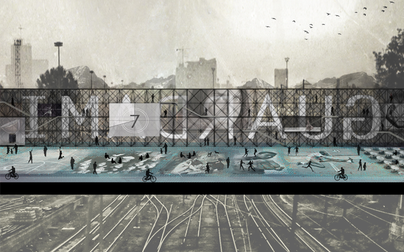
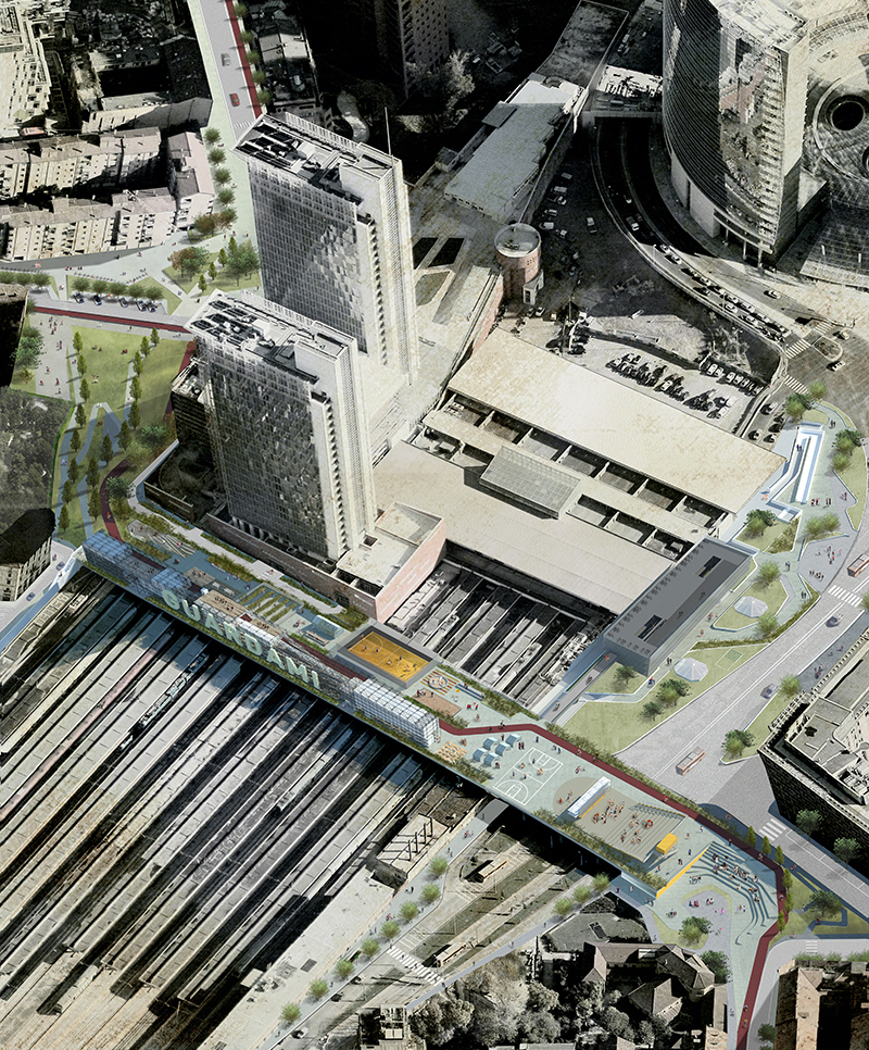
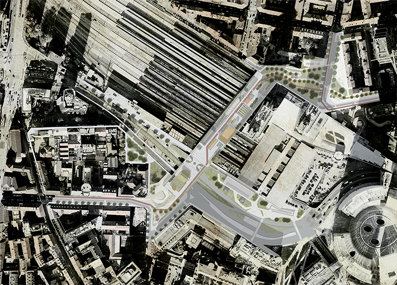
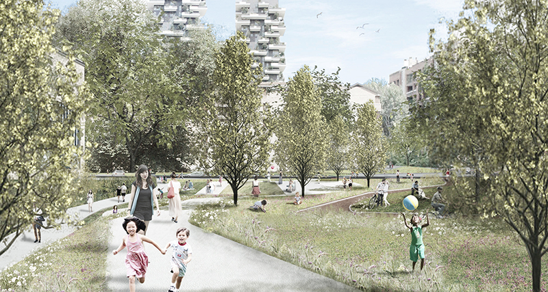
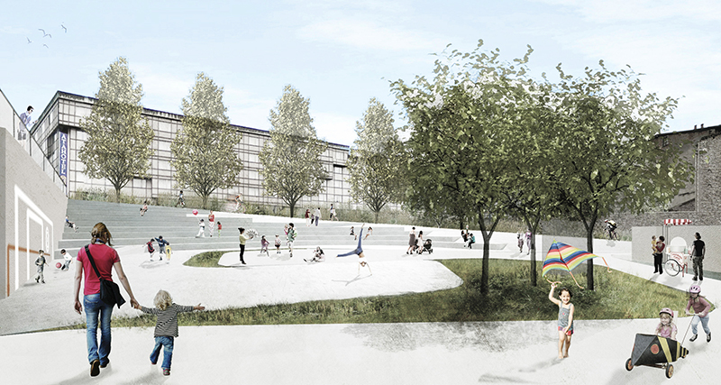
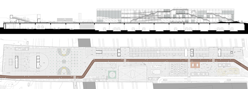
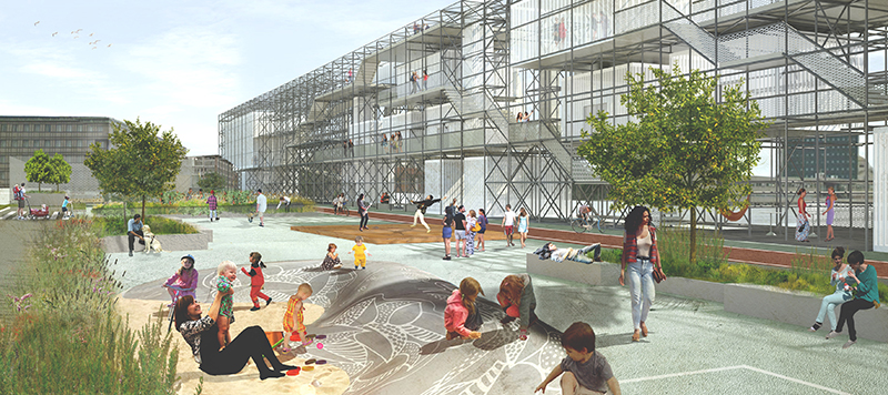
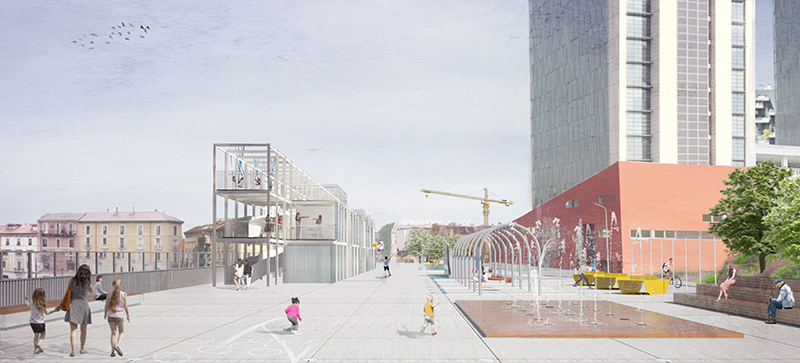
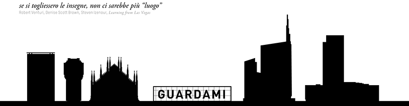
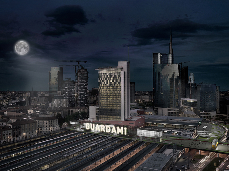
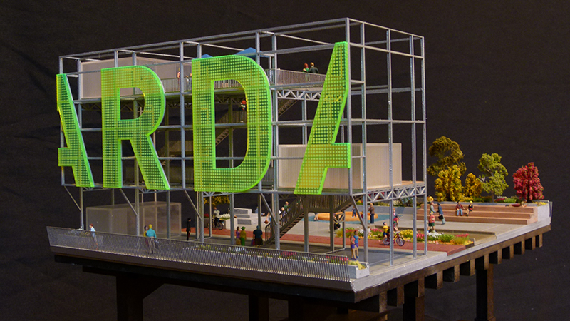
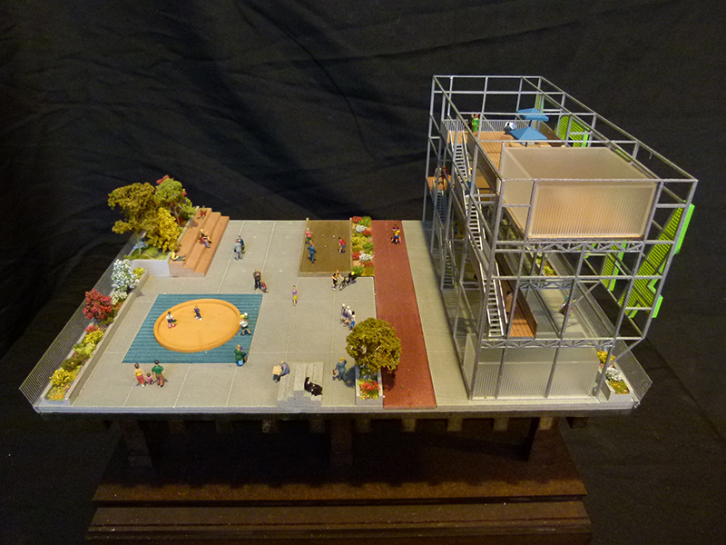
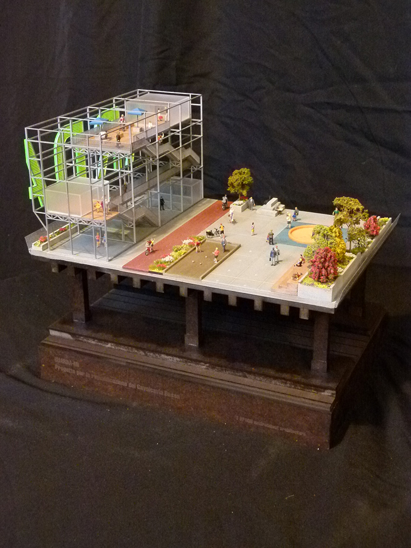
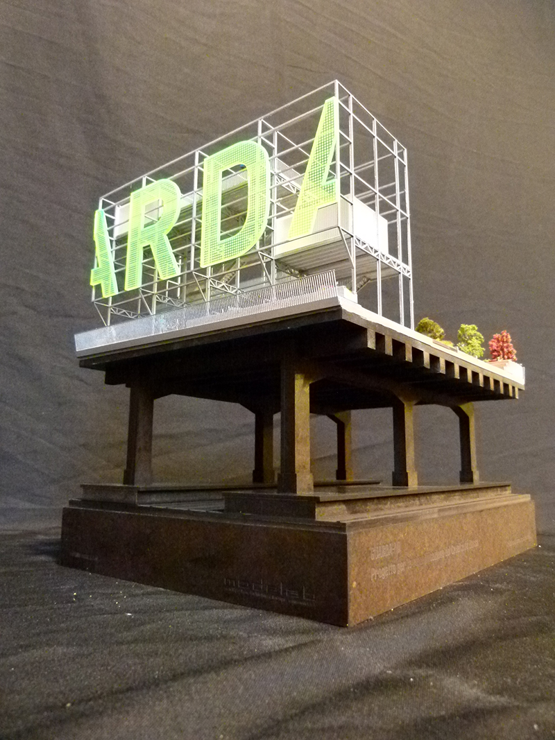
GUARDA-MI is the redevelopment project of the Bussa Overpass and it’s connections to the city in a continuous system of public and green spaces.

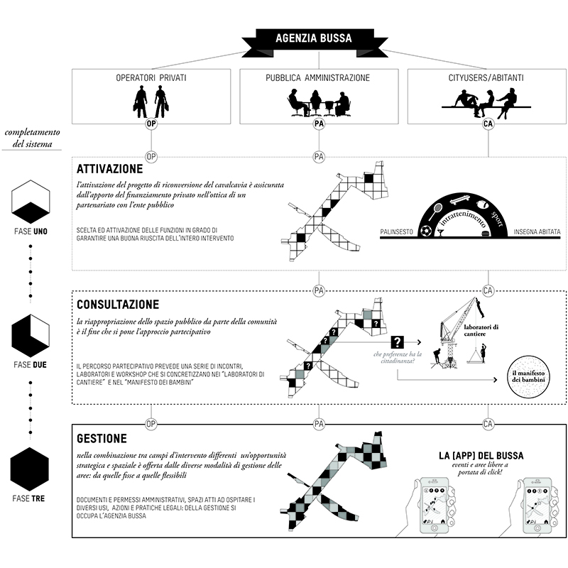
GUARDA-MI consists in an operating strategy that can transform a space that has lost its urban function in an extra-space, a living and lived space, returning it to the city. The transformation project will be progressively included in the collective imagination of the urban landscape as a place where, assuming a certain amount of responsibility, it will be possible to lay the foundations for alternative models of development based on temporary uses and adaptability, on the interaction between the urban actors that are involved at diff erent levels in the processes of transformation and on the direct involvement of users.

+

The redevelopment of the overpass is designed to create a place with its own identity, yet changing and constantly evolving: a clearly defi ned space but where everything is still possible. For this reason the overpass and the two head points have been “infrastructured” according to a few general rules that include an open process with wide margins of adaptability (both regarding the market request and the constant changes of demand) and that ensure, in each moment of the urban life cycle of the intervention, a correspondence to the overall image of the proposed project.

CREDITS

type: restricted design competition
result: winner/ongoing
client: Comune di Milano
with: Guglielmo Bartocci, Elisa Borgognoni, Agnese Monica, Giovanna Perdichizzi
model: Modelab


OPEN BLOCK

new housing settlement

OPEN BLOCK

new housing settlement in the PII Cascina Merlata | AAA architetti cercasi | Milano | 2010

special mention


#housing #newurbanity #community

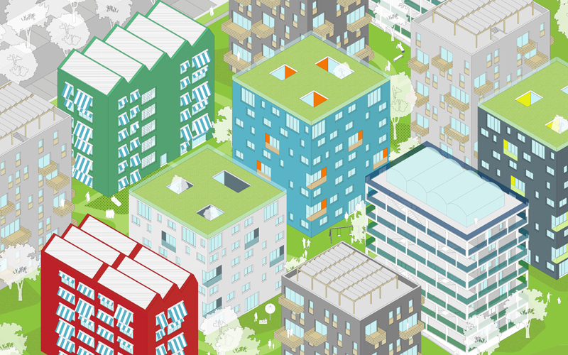
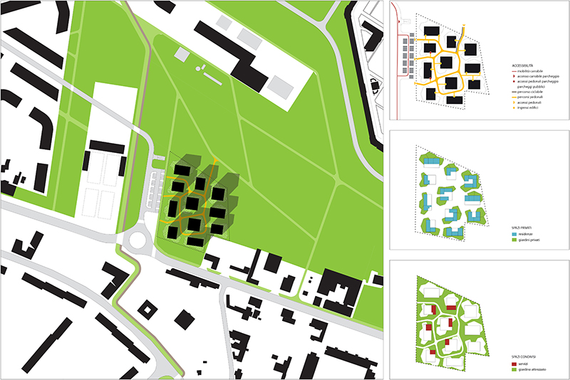
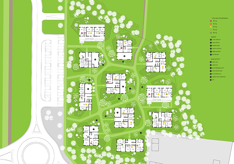
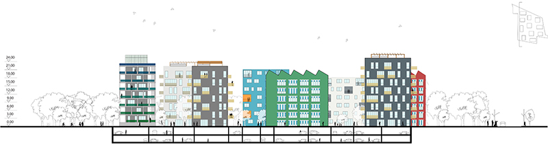
The proposal is to structure the intervention as a city block in the countryside and consists of several buildings, with the aim of establishing an integrated system of voids inside. The project is essentially a part of the city where the different elements, placed side by side, generating in turn, views, streets, plazas and squares in continuity with the natural spaces that surround the area.

+

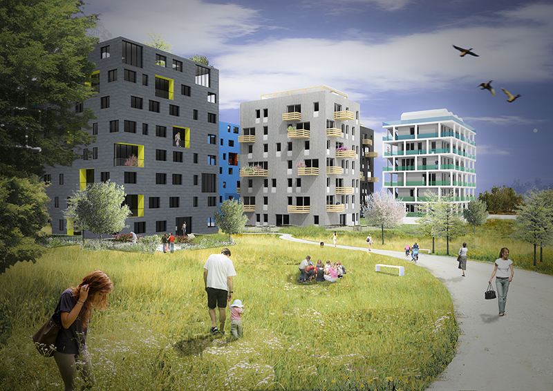
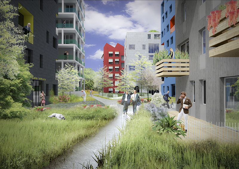
The different building types have been designed to accommodate the largest possible number of different housing types, in order to meet the diverse needs and desires of the community. The goal of this project is to create a precise relationship between solid and void, between building type and characteristics of the open space: public, semi-public and private. The project proposes an intervention where buildings, occupying only 25% of the surface area, leaving the ground free paths, gardens and common areas, gardens, playground and private gardens on the ground floors of residences. These strategies ensure that the entire project to appear as a part of the city, where the variety and the alternation of spaces, materials and colors, they return in the immediate idea of ​​urban complexity.

CREDITS

typ: ideas competition
risultato: special mention
client: Confcooperative, Legacoop, Euromilano
with: 2A+P/A, Tommaso Arcangioli

PARCO RADICELLI

urban park and sports center

PARCO RADICELLI

urban park and sports center for a new residential area | MenoèPiù 5 | Roma | 2008

winner


#landscape #urbanpark #publicspace #playground #sportfacilities

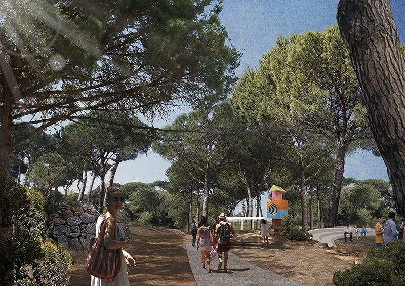
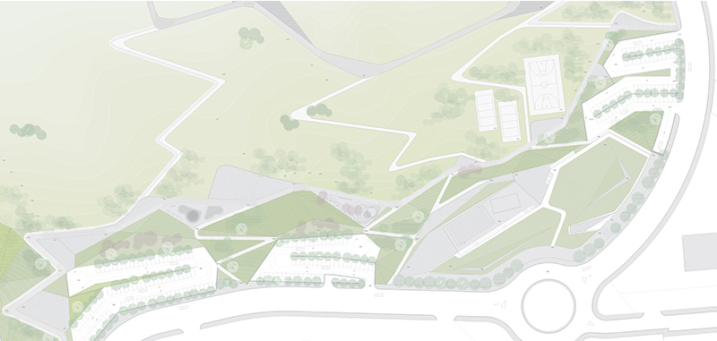
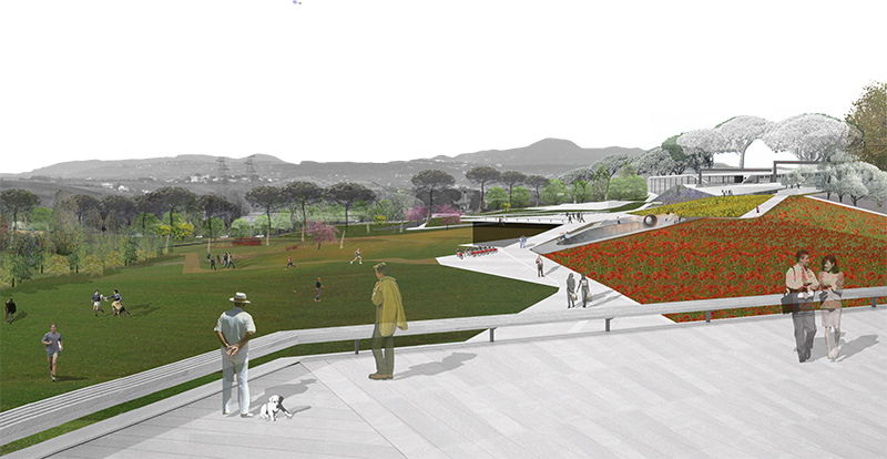
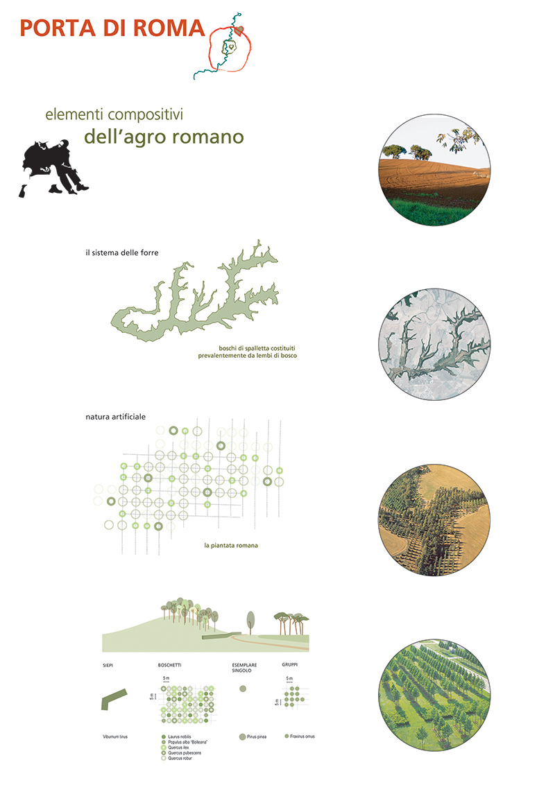
The project of the park is based on the reading of the territory and makes some reflections about the still clearly legible traces of the Agro Romano, the typical watercourses and the natural formations of the gorges. The reinterpretation of these signs has led to a design that suggests the reading of the territory by stratigraphic sections. Just like inside a gorge, the park discovers diversified landscapes that connect gradually the urbanized district with the rural surrounding of the Fosso Radicelli, nucleus of biodiversity. The aim of the intervention is therefore to preserve the landscape and enhance its meaning, re-proposing a structure that is typical of the Roman countryside, with its typical elements, scattered trees, farmland, open glades.

+

The themed bands decreasing of height through the alternation of soft green slopes and terraces offer progressively a more rural atmosphere. The urban “banks” group the accesses to the park, the activities, the sports complex and the parkings and public space system. A reticulation of paths continues the distribution of the park, supporting the topography and linking the two banks to the main path of the ring in the heart of the park. This is the element that gives centrality to the park both for the activities that you can carry out (resting, jogging, fitness trail), both for interconnections that are generated by the entire neighborhood. In the inner side of the ring, along all the Radicelli ditch, develops the park with more natural character .

CREDITI

type: restricted design competition
result: winner
client: Comune di Roma
with: LAND srl, studio UAP, Paola Fusco, Daniela Pastore, Davide Sacconi
strucure: Studio Rubini
echnical systems: IN.ARCH.ECO
artist: Raymundo Sesma

PARCO DELLE SABINE

urban park in the Municipality of Bufalotta

PARCO DELLE SABINE

urban park in the new centrality of Bufalotta | Roma | 2009-10

with Land s.r.l.


#urbanpark #landscape #urbandesign

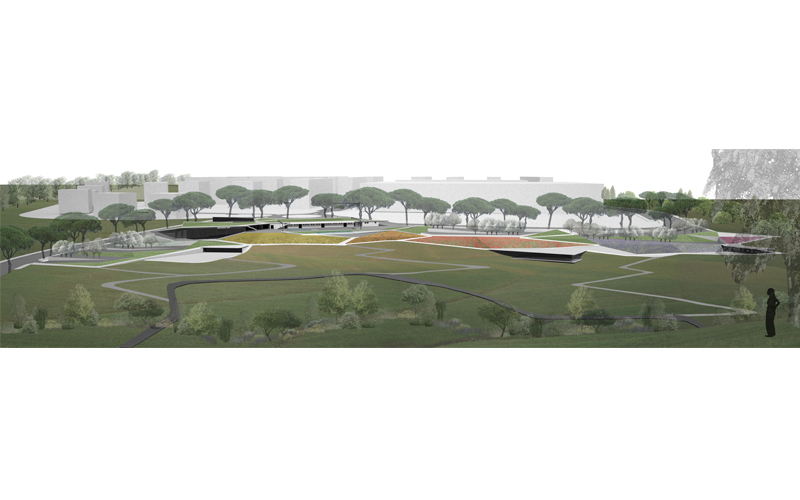
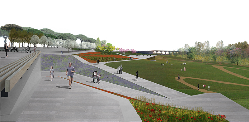
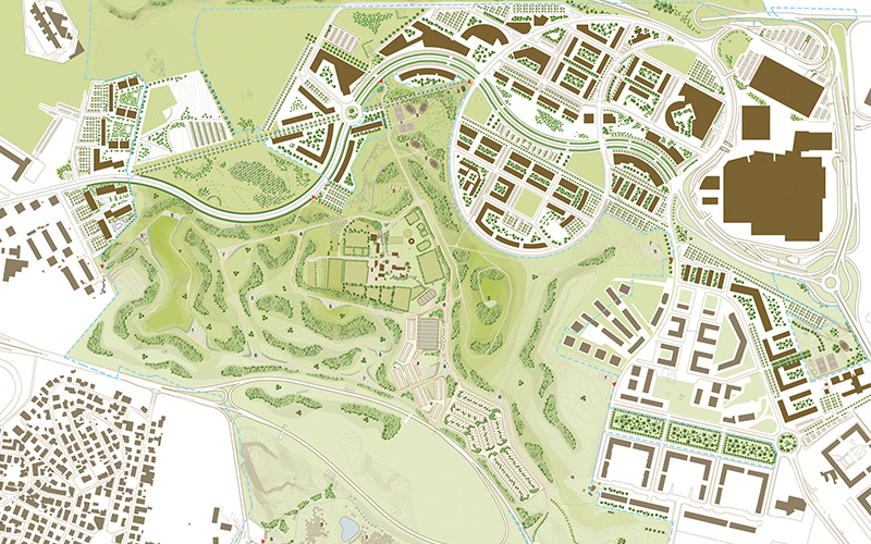
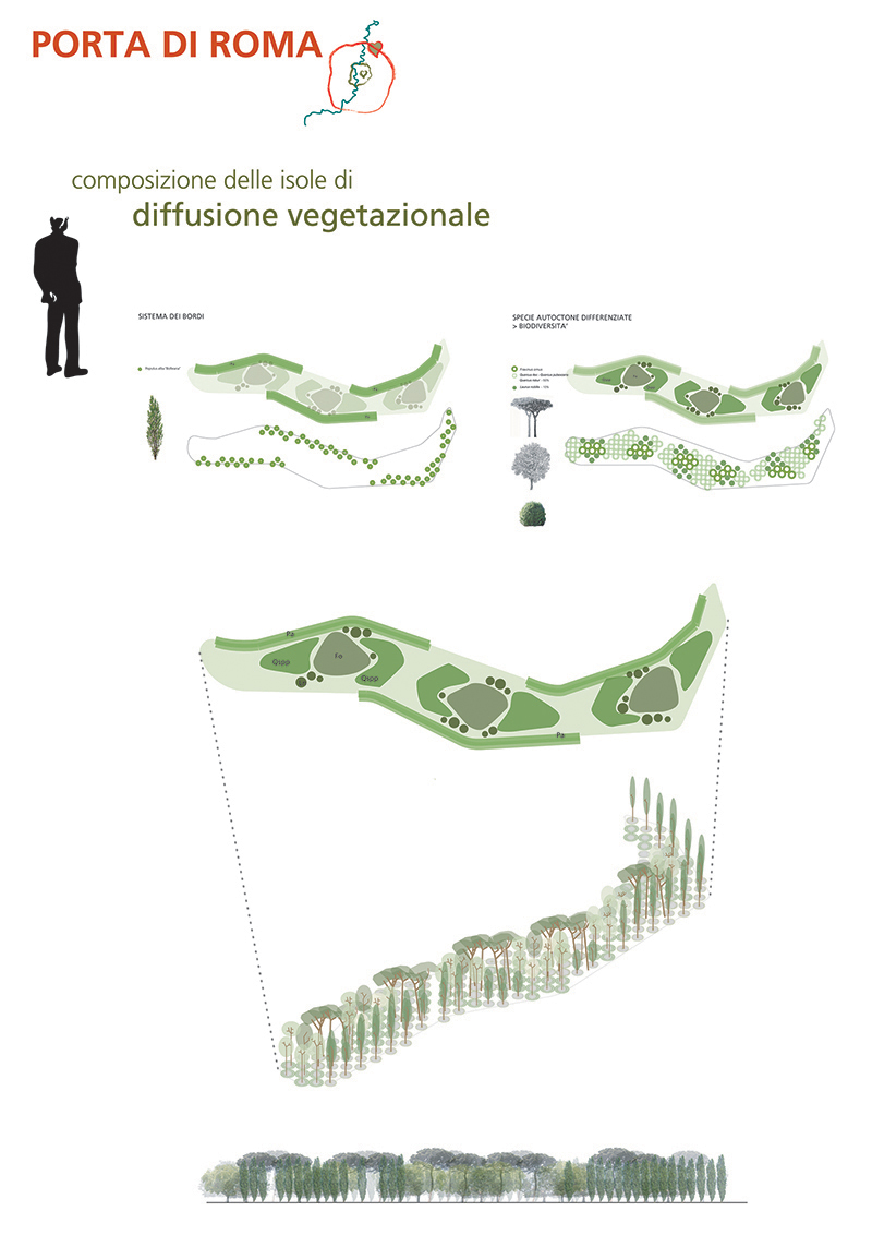
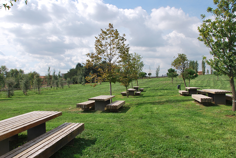
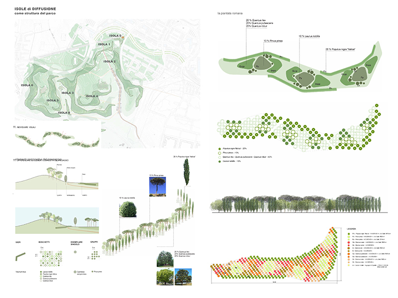
Parco delle Sabine is a large container of landscape, defined by the planting system, which becomes the correct method to “draw”, “set” and “arrange” a park of considerable size.

Starting from the study of the morphology and evolution of the landscape of the Agro Romano and its transformation over the centuries, we have created borders, backgrounds and sceneries, to define and to frame large clearings.

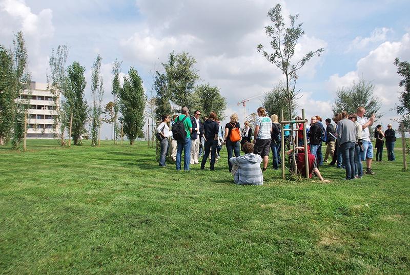
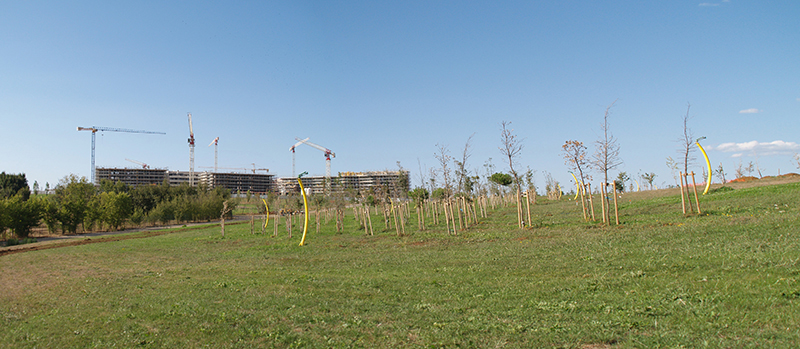
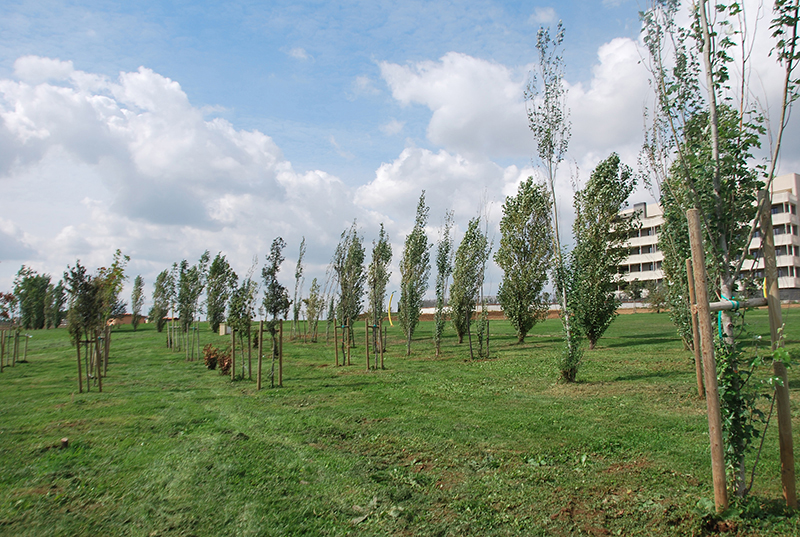
By planting islands of trees along the sides and edges of slopes, existing and newly defined, we have created a water collection systems, that counteracts the placer mining, in order to define a low-maintenance park able to “self sustaining”.

CREDITS

type: commission
status: built
client: Lamaro appalti, Porta di Roma s.r.l.