BARI COSTA SUD

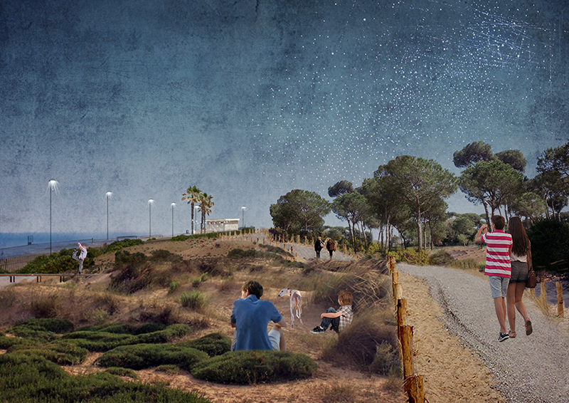
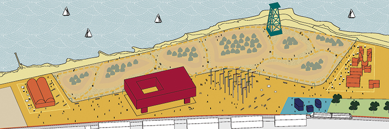
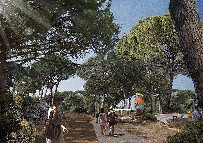
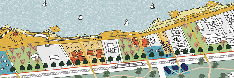
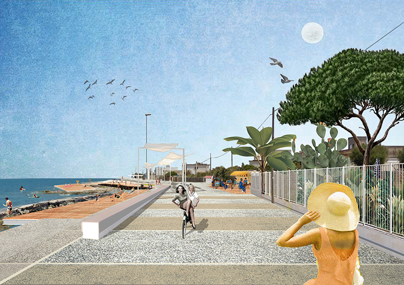
redevelopment of the coastal area

BARI COSTA SUD

redevelopment of the coastal area | Bari | 2018
 

#urbanregeneration #bikemobility #pedestrianmobility #publicspace #urbandesign #masterplan

+

CINQUE AZIONI PER LA COSTA SUD

  1. riconoscere la discontinuità come valore

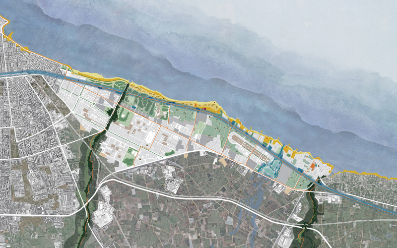
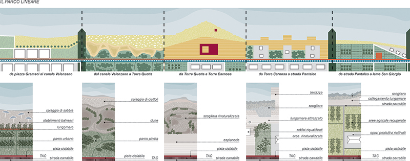
L’area di progetto è caratterizzata da un paesaggio frammentato, la cui identità non è univoca. Fino al canale Valenzano, si riconosce una forma della città, definita da espansioni concentriche: qui è sufficiente il riammagliamento con la città storica attraverso mirati completamenti della rete stradale e dei tessuti edilizi. Oltre la lama, la pianificazione dell’ultimo secolo ha generato un tessuto discontinuo, costituito da un sistema di isole indipendenti ed eterogenee. Riconoscendo la discontinuità del costruito come un valore da preservare, il progetto rafforza la natura dei diversi ambiti come realtà autonome ed indipendenti, da densificare e ridefinire nei caratteri e nei bordi. Il vuoto, nella forma di parco lineare, sarà l’elemento strutturante, capace di tenere insieme le diversità e ridefinire l’identità del luogo. 

  1. strutturare la spina dorsale

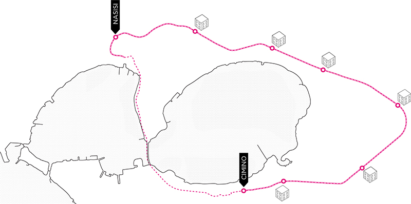
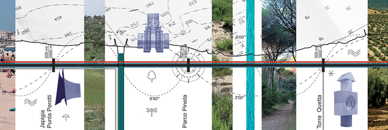
Affinché la discontinuità non significhi segregazione e marginalizzazione, occorre garantire condizioni ottimali di accessibilità. La proposta consiste nel trasformare il tracciato ferroviario, fino ad oggi una cesura invalicabile nel territorio, nella spina dorsale capace di strutturare la trasformazione, convertendolo nel TAC (Tram dell’Arte Costiera), un’importante asse di trasporto pubblico locale da relazionare ad un sistema capillare di mobilità ciclopedonale, che possa costituire realmente un’alternativa alla mobilità su gomma.

  1. individuare i poli

Il sistema lineare della mobilità pubblica è potenzialmente un sistema omogeneo. Il rafforzamento dei nodi esistenti e l’inserimento di nuovi poli accentratori lungo il suo percorso permette di costruire dei momenti che si configurano come delle pause di differente scala, condensatori di vita e di vitalità. I poli lungo la linea del TAC, alcuni già esistenti, altri di nuova costituzione (il parco marittimo, il polo di Torre Carnosa, dell’insediamento costiero di San Giorgio, il distretto agro-marittimo), sono di diverso tipo e rilevanza. La trasformazione è direzionata, da un lato, verso funzioni capaci di costituire attrazione per la scala territoriale e, dall’altro, verso lo sviluppo di un sistema continuo di spazi comunitari per la cultura, l’educazione, lo sport e il leisure, capaci di costituire attrazione e identità alla scala locale. 

  1. lavorare sui bordi

Questa parte di città, per sua natura, si è sviluppata all’interno di fasce longitudinali, parallele alla costa e delimitate dalle linee infrastrutturali, con scarsi punti di contatto e connessione trasversale. La sfida consiste nel rileggere queste fasce, reinterpretando il concetto di limite non come cesura, ma come territorio di mediazione fra le parti. Nel progetto le aree di bordo assumono quindi un valore particolare, sia come punto di incontro che filtra realtà diverse (paesaggio costiero e retrocostiero, tessuti insediativi, sistemi naturali), sia luoghi ben definiti, dotati di una propria identità, che hanno la possibilità di diventare per il territorio una risorsa eccezionale perché specifica del luogo.

  1. evitare il consumo di suolo: riusare, liberare, densificare, intensificare

Il momento di crisi attuale non permette errori, né sprechi. Serve agire in maniera strategica, traendo il massimo beneficio dalle risorse già disponibili. Pertanto il progetto si fonda su quattro principi. Riusare l’esistente (edifici dismessi e spazi scarsamente definiti), prevedendo anche ri-attivazioni temporanee per innescare le prime trasformazioni. Liberare il fronte mare e l’ambito retrodunale da tutti quegli elementi incongrui che, se non possono essere riutilizzati, dovranno essere demoliti. Densificare, completando i tessuti esistenti, così da preservare il vuoto, naturale o minerale, come elemento di riconnessione fra le parti. Intensificare di funzioni e attività, puntando sulla mixitè funzionale, tipologica, formale.
CREDITS

type: ideas competition
client: Comune di Bari
urbanism: arch. Mauro Baioni
GIARDINI DI FALANTO

enhancement of Mar Piccolo

GIARDINI DI FALANTO

reactivation of Mar Piccolo territory | Taranto | 2016-18


#strategy #landscape #slowmobility #reuse #infrastructure

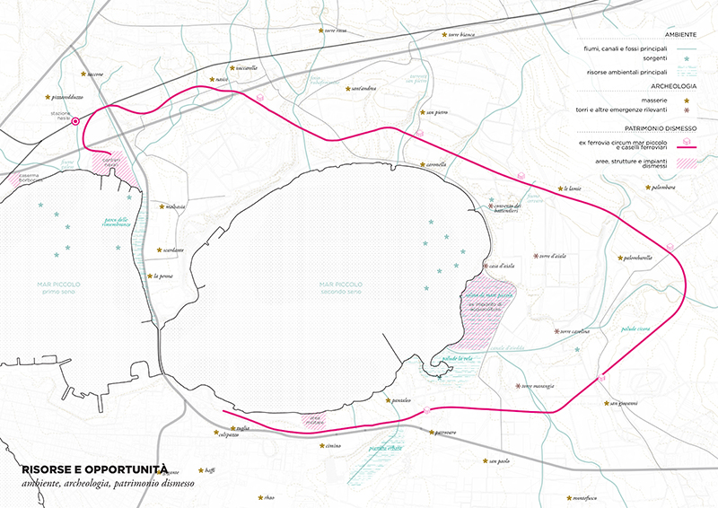
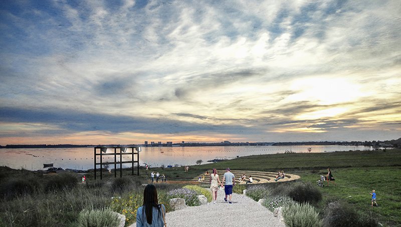
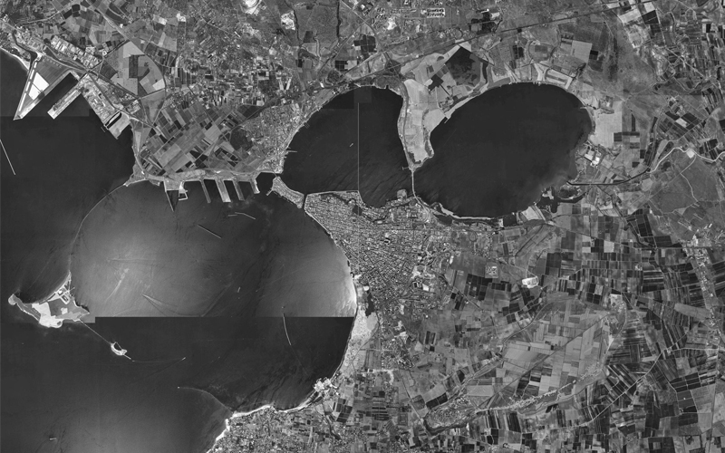
The territorial unit of Mar Piccolo is a naturalistic and archaeological area with a totally unexpressed potential value. This place is unique for its natural conformation (the two seas of Taranto), for the wetland and marine biodiversity that it welcomes despite the state of degradation and pollution, and for the historical and archaeological presence still visible today. The task is to define an innovative and integrated territorial development model that considers the redevelopment of a degraded area as a complex multidisciplinary process, self-sustaining and capable of generating new economies.

Giardini di Falanto is therefore a long-term and broad planning framework, which aims to host different project initiatives, carried out by different subjects, but all directly or indirectly linked to the identity of the areas of Mar Piccolo, to their history and to a few simple guidelines that identify the general rules within the particular processes are included. It is a participatory and shared process to implement sustainable and excellent activities within green and blue economy, social innovation, sustainable mobility, research and technology transfer.

+

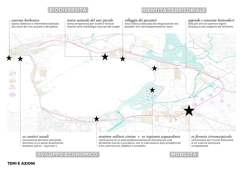
The objective is to build a renewal process starting from the existing, from the available resources of the territory, and working on certain issues (mobility, territorial identity, biodiversity, economic development) that define the guidelines in which the different project actions are then inserted consistently.

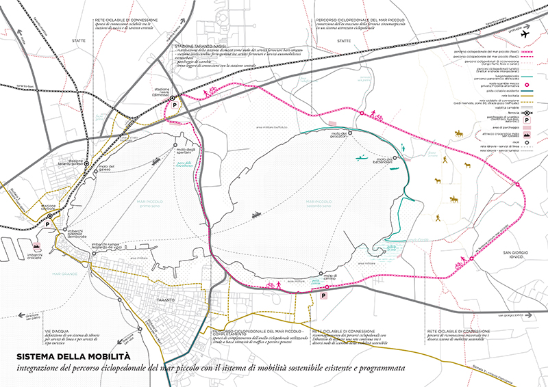
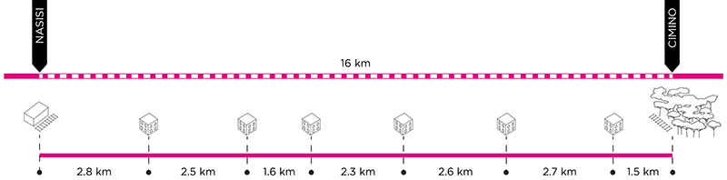
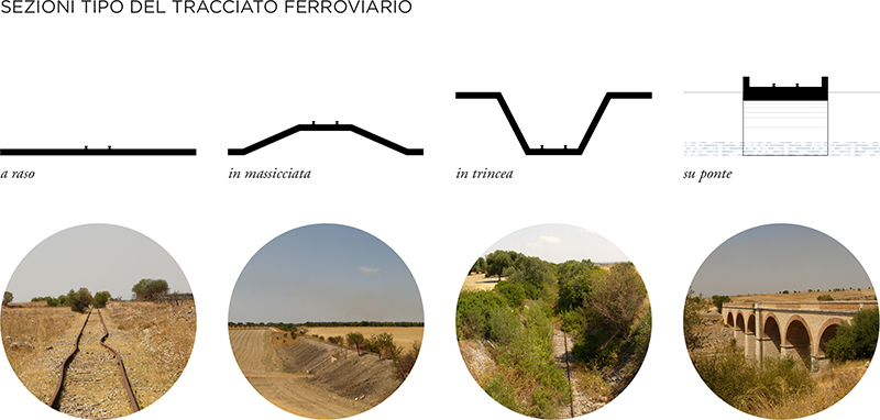
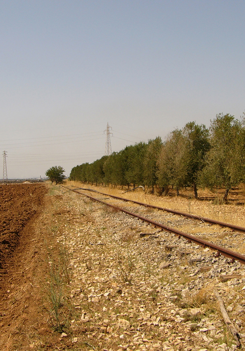
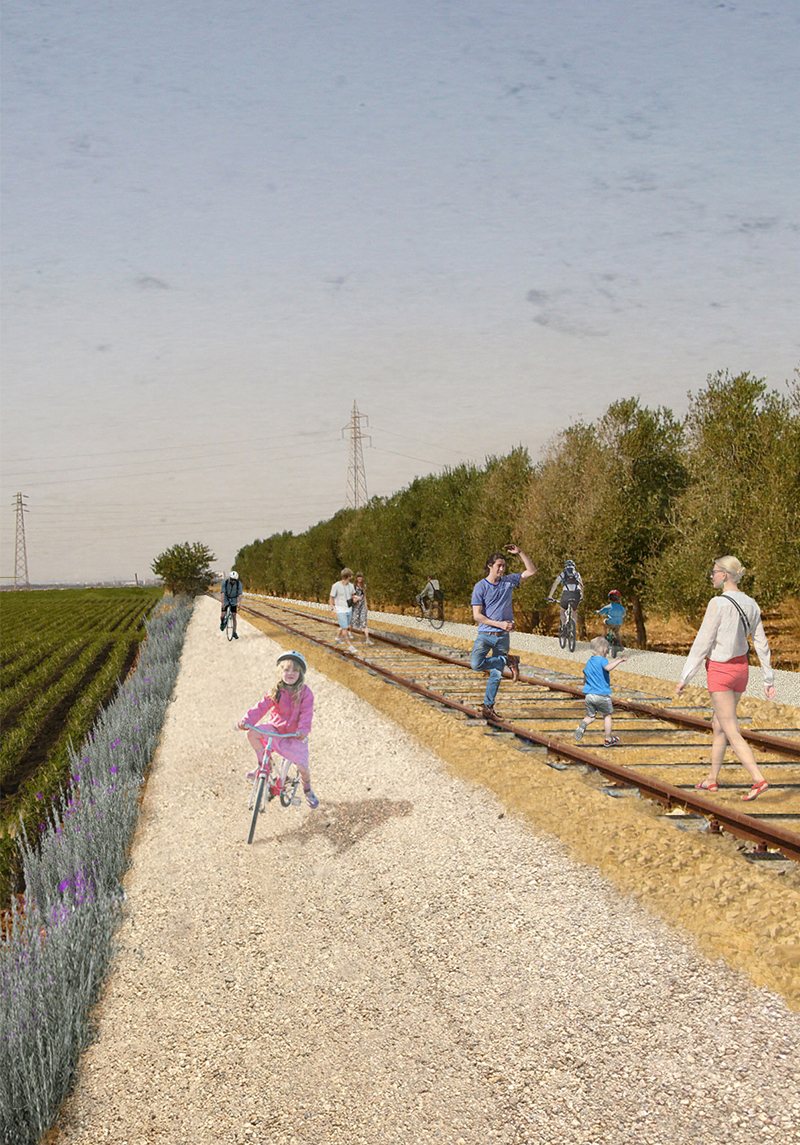
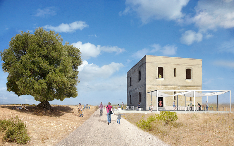
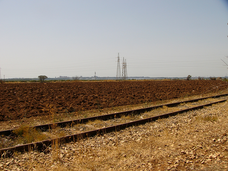
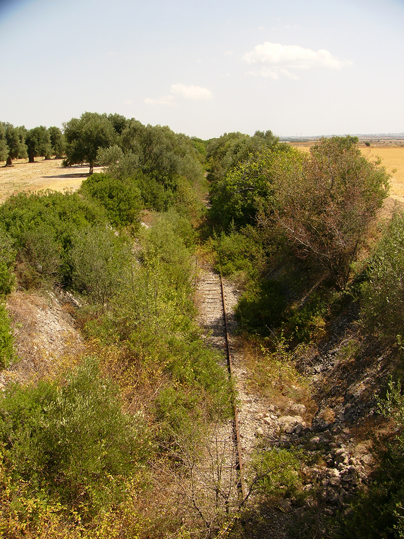
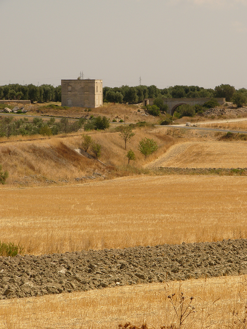
Among these, the starting point for the enhancement of the entire territorial unit is the project to convert the former Circumarpiccolo railway into an equipped cycle and pedestrian path. Once the territory becomes accessible and infrastructured, it can easily return to life, redefining its new role within the city: the infrastructure of the area will be the trigger mechanism capable of stimulating public and private initiatives to start new activities and a network of local economies. The construction of the cycle and pedestrian circuit and the reactivation of the former disused tolls, that can host activities linked to sustainable mobility, tourism and local production, allow the connection of the city and the territory in a continuous, ecological and sustainable way, making it possible to discover and experience the resources and character of the area.

CREDITS

type: research/commission
status: ongoing
client: Ance, Accademia degli Audaci

VIGNA VELATA

temporary garden in Cascina Langa

VIGNA VELATA

temporary garden in Cascina Langa | Trezzo Tinella (CN) | 2014


#event #landscape #wine #temporarysetting

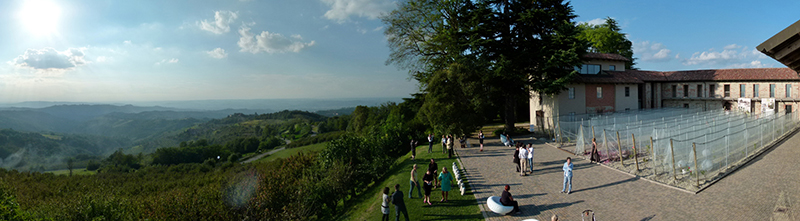
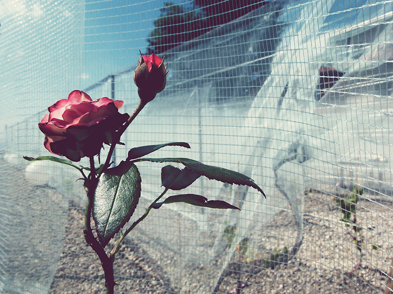
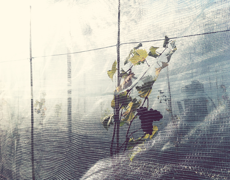
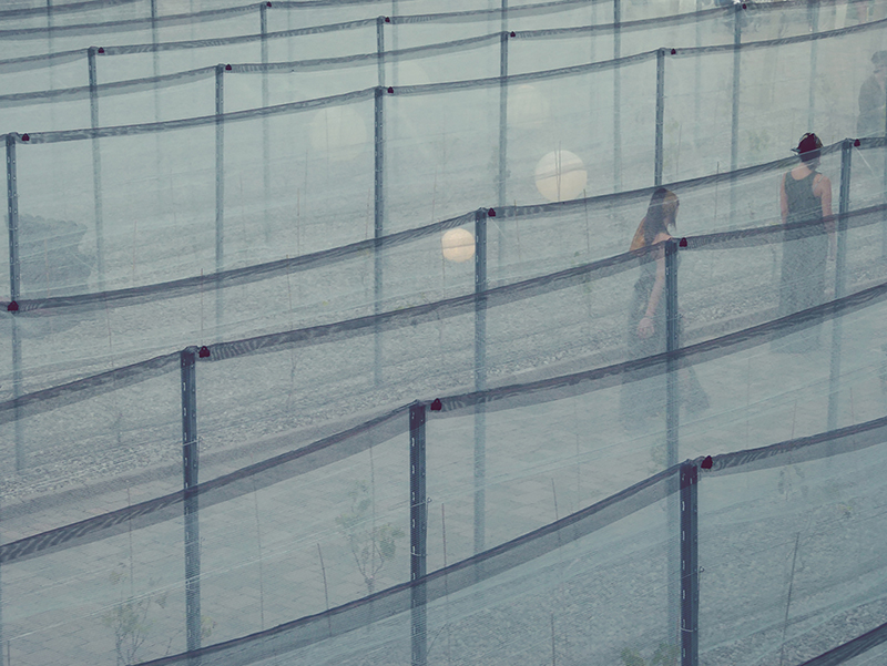
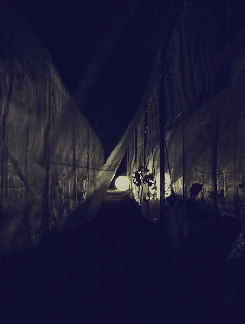
The Vigna Velata is a space of discovery: a mysterious, ambiguous and mutable space into which let yourself go, and get lost in a delicious state of inebriation, to discover a deeper relationship with the genius loci.

The landscape of the Langhe is strongly characterized by the smooth and flowing lines of the hills, curves drawn by the vineyards and rows of fruit trees. An exceptional landscape for its morphology and its material aspect that can be fully appreciate in all its nuances from Cascina Langa.


+

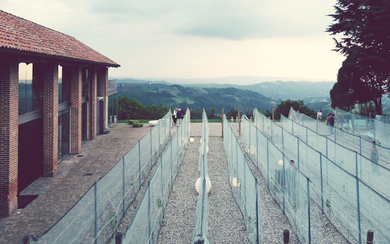
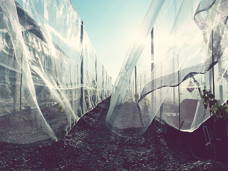
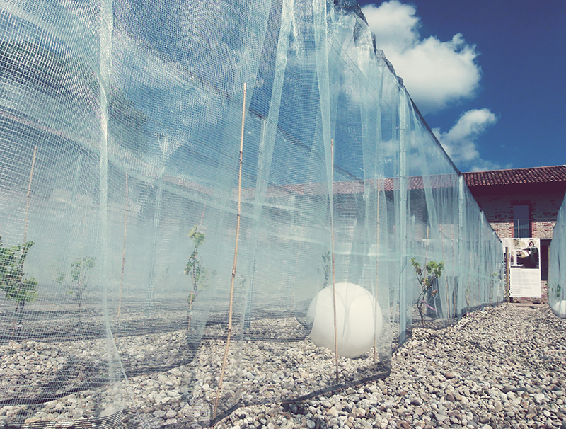
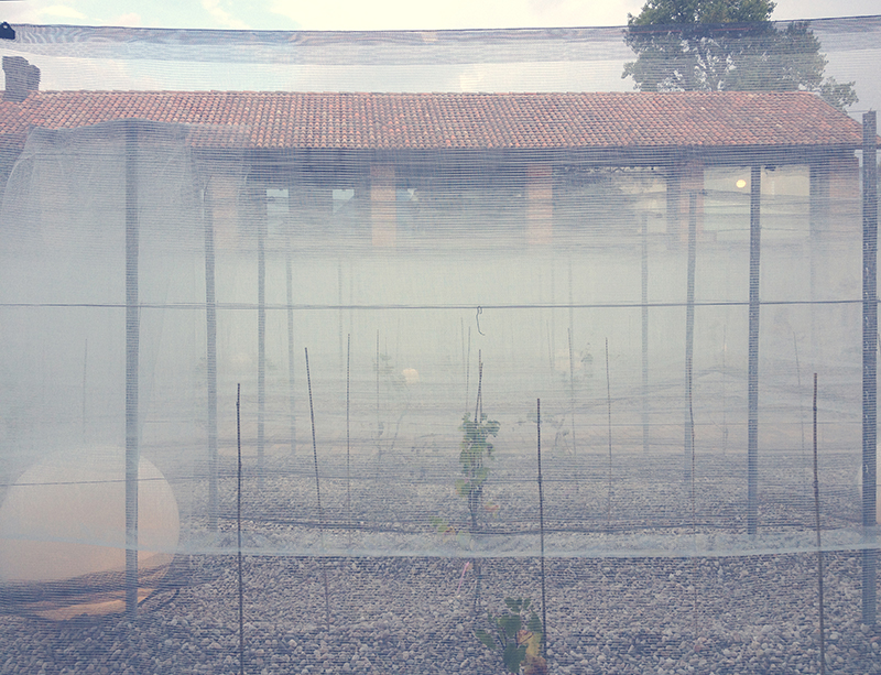
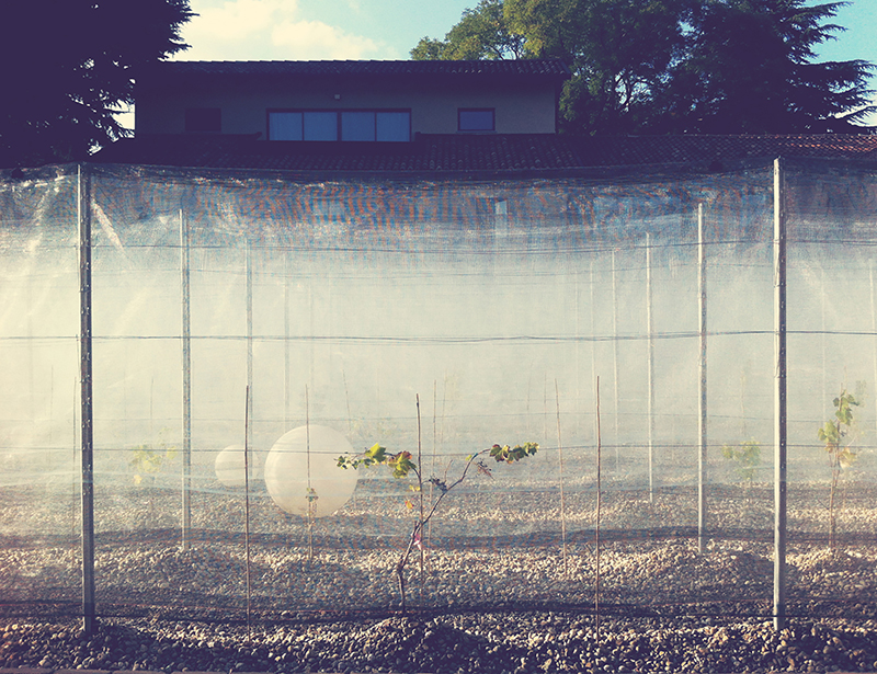
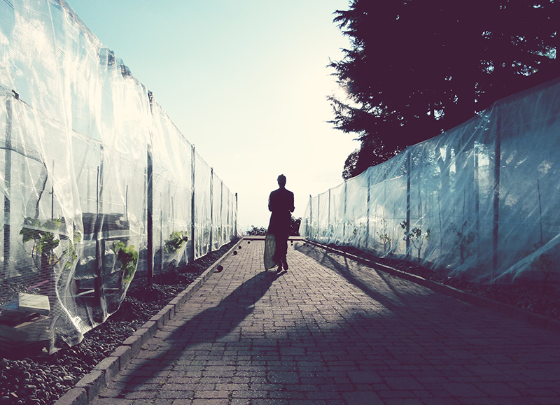
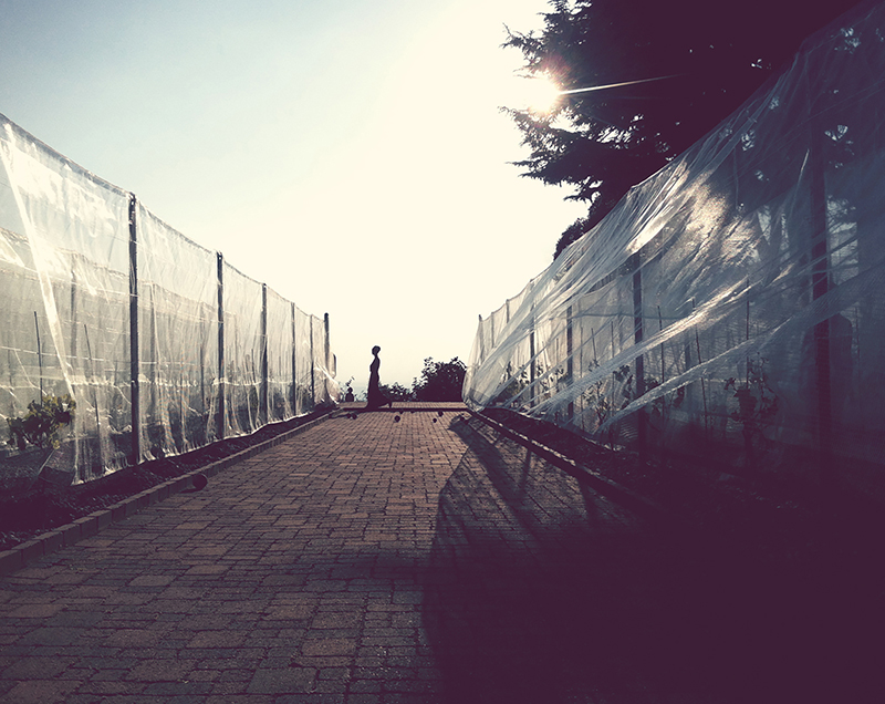
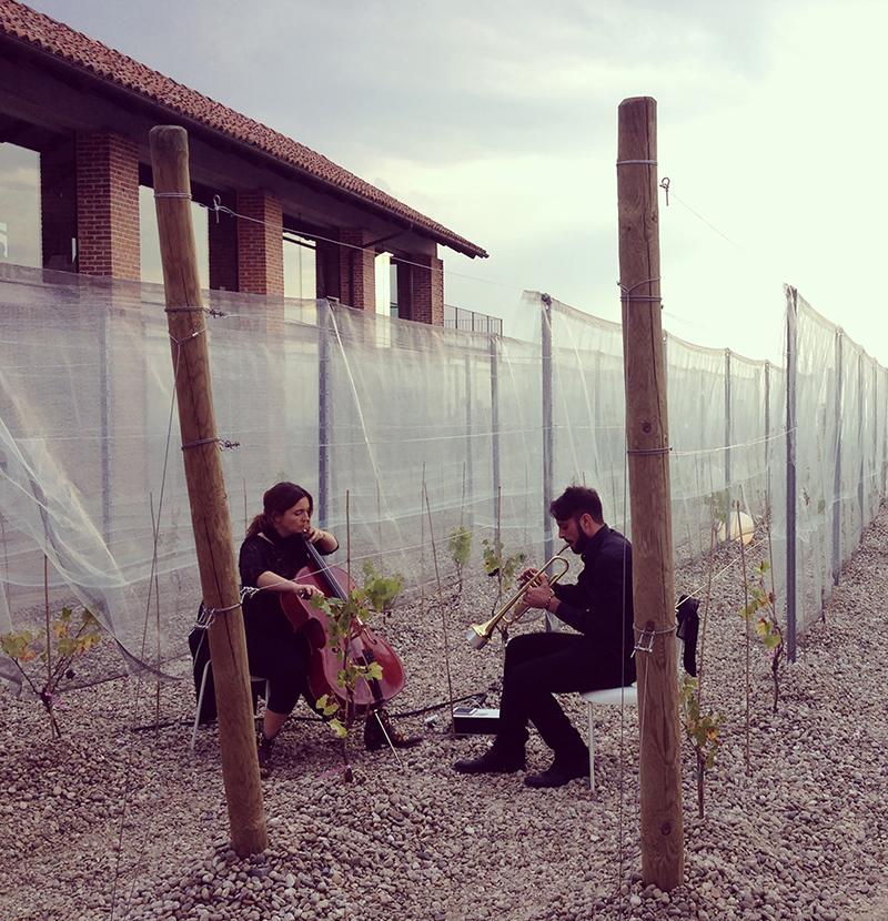
The Vigna Velata reinterprets the topos of the vineyard and its constructive elements, purposing these ephemeral rows composed by the overlaying of soft drapes that frame the landscape of the Langhe. Walking along the rows, abandoning yourself and getting lost in this place, you can make multi-sensory experiences that will contribute to the personal construction of the territorial identity.

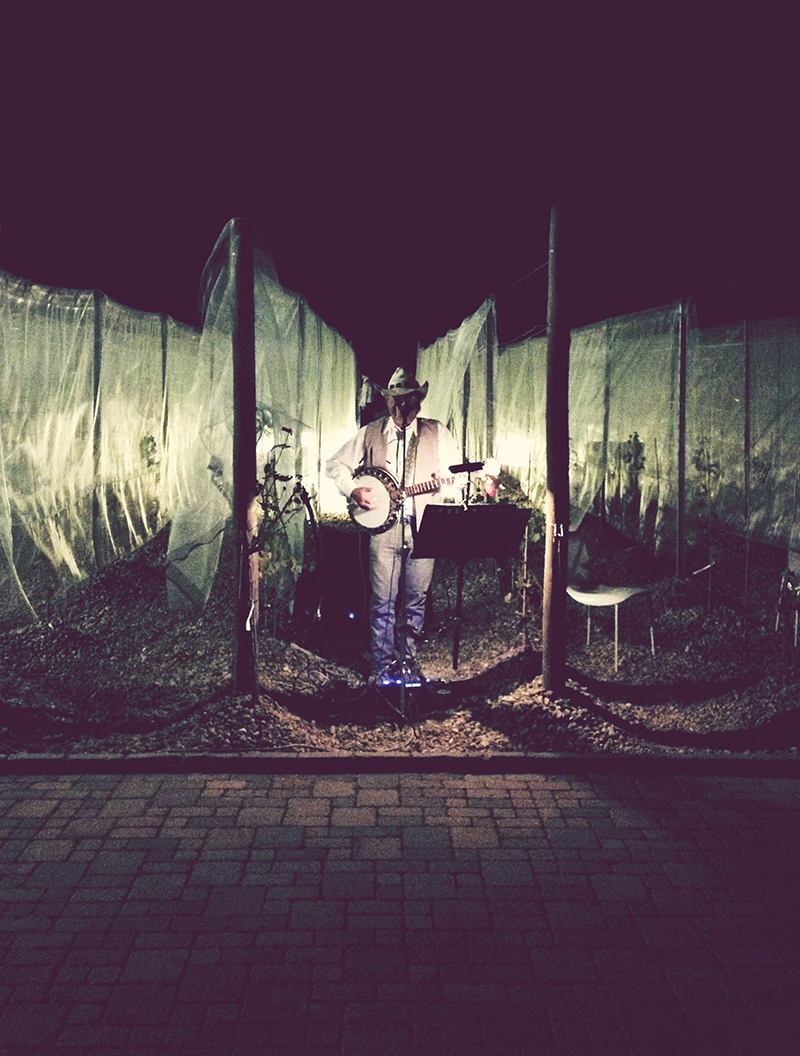
The observer that enters in the Vigna Velata will be invited to take a journey, accompanied by sounds, perfumes and tastes to be discover and unveiled along a perception path that mixes the topic elements of the territory with elements of imaginary, merging them into a delicious inebriation. A journey where to discover the symbols and memories of the sacred brotherhood with the earth and with the environment. A journey in which to reach the awareness of belonging to a single living entity, to live, to discover and to preserve.


CREDITS

type: commission
status: built
client: private

ARCIPELAGO VERDE

development strategy

ARCIPELAGO VERDE

development strategy for the capital of biodiversity | Roma | 2012

with Land s.r.l.


#strategy #integratedsystem #urbanregeneration #landscape #territory #masterplan

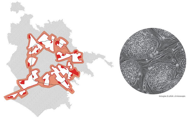
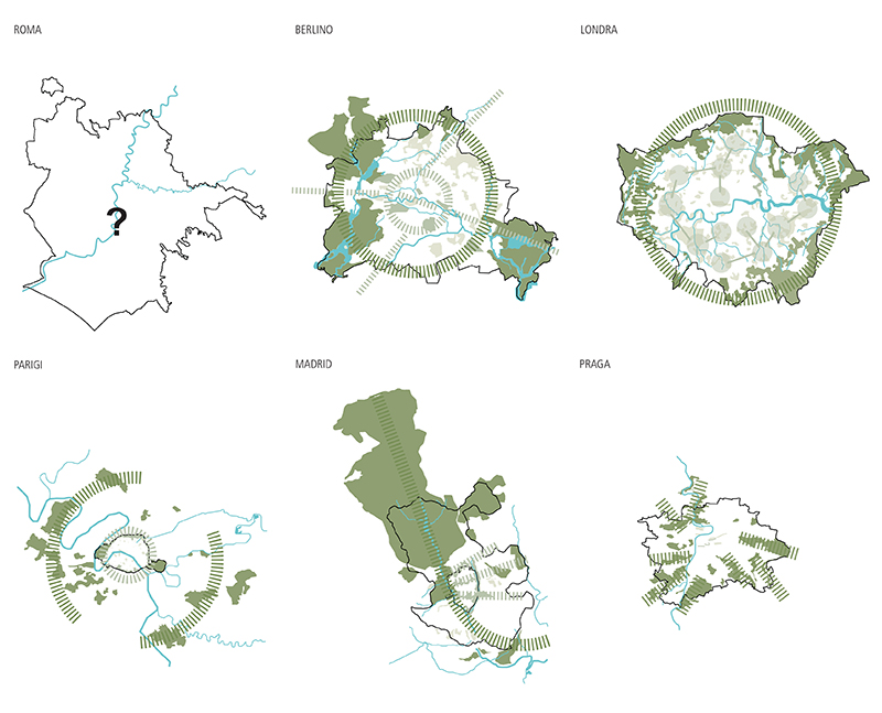
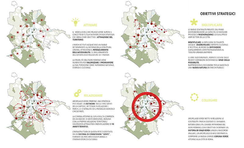
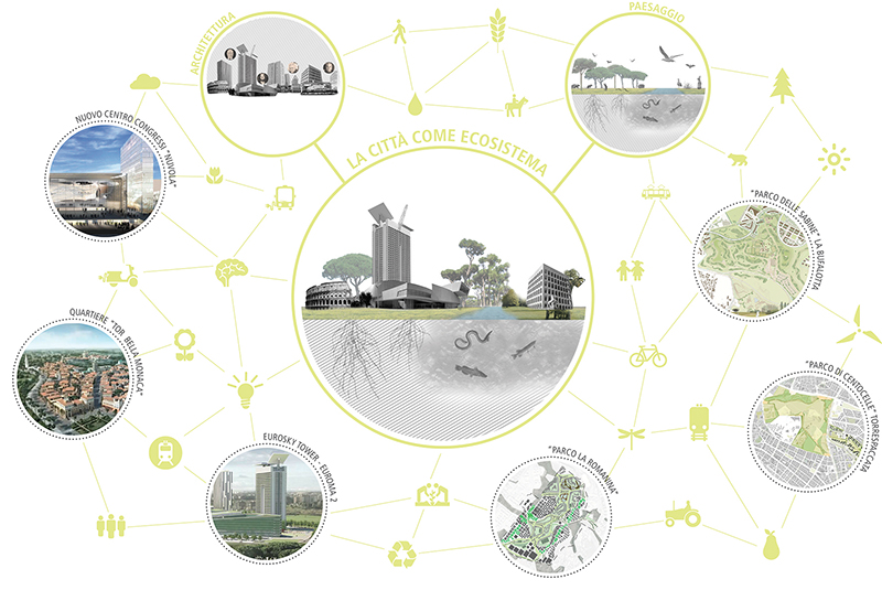
Arcipelago Verde is a strategic project aimed at developing a landscape and environmental vision for a sustainable development of the Municipality of Rome. Starting from the enormous environmental heritage of the municipal territory: the Agro Romano, the historical parks, the natural reserves, the rural areas and the green public spaces, the new vision developed has as principal objective the transition from a protection attitude to the reactivation of the territory.

+

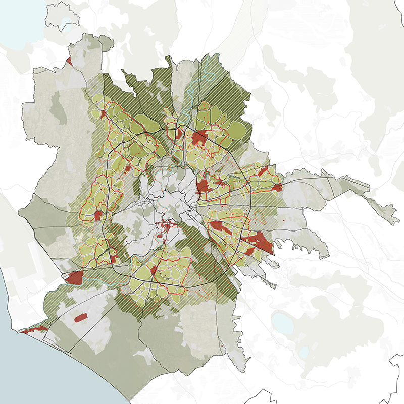
The proposed strategy is based on a contemporary enhancement and promotion of existing parks, on the definition of new large urban parks located on the outskirts of the city as a cure and revival of the centralities and on the redefinition of open spaces, all of which are concentrated along the ring of the Raccordo Annulare.

The Arcipelago Verde theme develops from the vision of the new urban centralities and the established city parks as green atolls, that already exist or are in process of being defined, that need to get back on top in the life of the city and be networked one to each other, aimed to the recomposition of the overall environmental mosaic of 129,000 hectares of green area that belongs to the municipal territory.

CREDITS

type: commission
status: feasibility study
client: Roma Capitale
with: Land s.r.l.

OPEN BLOCK

new housing settlement

OPEN BLOCK

new housing settlement in the PII Cascina Merlata | AAA architetti cercasi | Milano | 2010

special mention


#housing #newurbanity #community

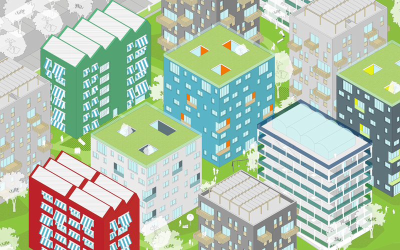
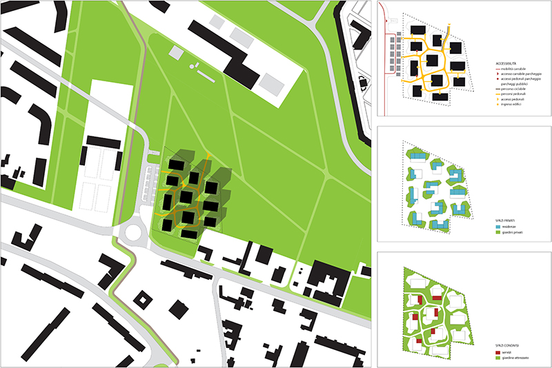
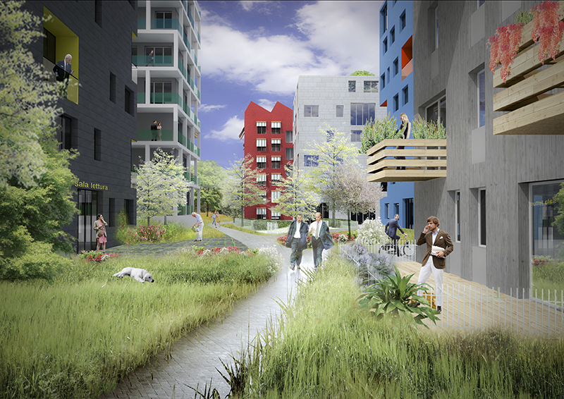
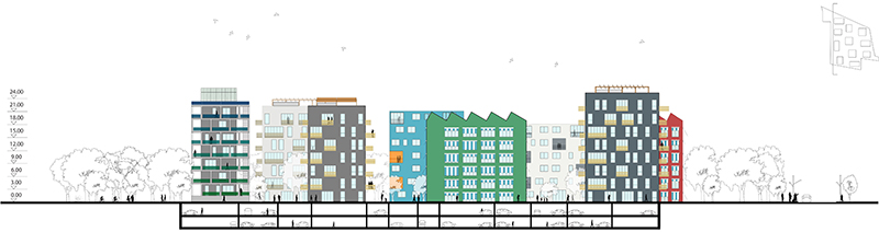
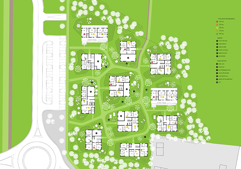
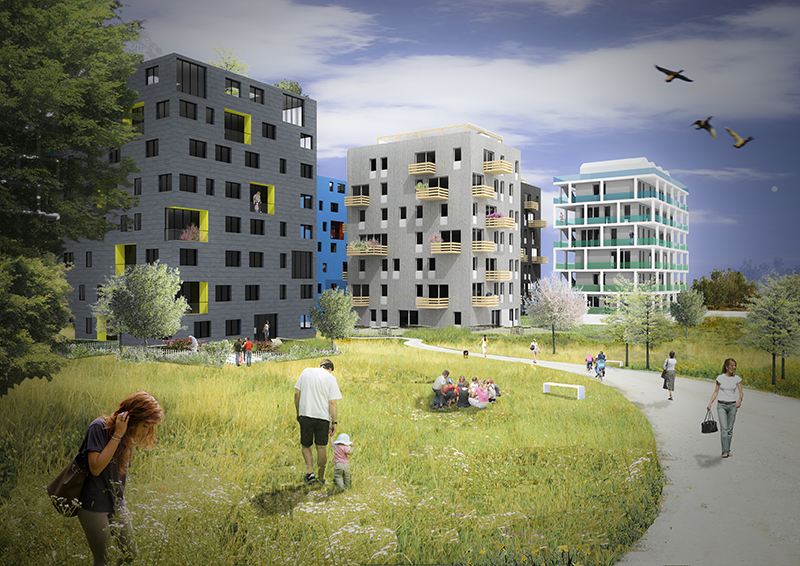
The proposal is to structure the intervention as a city block in the countryside and consists of several buildings, with the aim of establishing an integrated system of voids inside. The project is essentially a part of the city where the different elements, placed side by side, generating in turn, views, streets, plazas and squares in continuity with the natural spaces that surround the area.

+

The different building types have been designed to accommodate the largest possible number of different housing types, in order to meet the diverse needs and desires of the community. The goal of this project is to create a precise relationship between solid and void, between building type and characteristics of the open space: public, semi-public and private. The project proposes an intervention where buildings, occupying only 25% of the surface area, leaving the ground free paths, gardens and common areas, gardens, playground and private gardens on the ground floors of residences. These strategies ensure that the entire project to appear as a part of the city, where the variety and the alternation of spaces, materials and colors, they return in the immediate idea of ​​urban complexity.

CREDITS

typ: ideas competition
risultato: special mention
client: Confcooperative, Legacoop, Euromilano
with: 2A+P/A, Tommaso Arcangioli

PARCO RADICELLI

urban park and sports center

PARCO RADICELLI

urban park and sports center for a new residential area | MenoèPiù 5 | Roma | 2008

winner


#landscape #urbanpark #publicspace #playground #sportfacilities

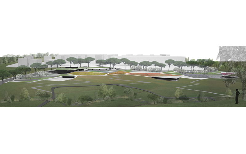
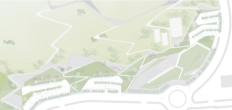
The project of the park is based on the reading of the territory and makes some reflections about the still clearly legible traces of the Agro Romano, the typical watercourses and the natural formations of the gorges. The reinterpretation of these signs has led to a design that suggests the reading of the territory by stratigraphic sections. Just like inside a gorge, the park discovers diversified landscapes that connect gradually the urbanized district with the rural surrounding of the Fosso Radicelli, nucleus of biodiversity. The aim of the intervention is therefore to preserve the landscape and enhance its meaning, re-proposing a structure that is typical of the Roman countryside, with its typical elements, scattered trees, farmland, open glades.

+

The themed bands decreasing of height through the alternation of soft green slopes and terraces offer progressively a more rural atmosphere. The urban “banks” group the accesses to the park, the activities, the sports complex and the parkings and public space system. A reticulation of paths continues the distribution of the park, supporting the topography and linking the two banks to the main path of the ring in the heart of the park. This is the element that gives centrality to the park both for the activities that you can carry out (resting, jogging, fitness trail), both for interconnections that are generated by the entire neighborhood. In the inner side of the ring, along all the Radicelli ditch, develops the park with more natural character .

CREDITI

type: restricted design competition
result: winner
client: Comune di Roma
with: LAND srl, studio UAP, Paola Fusco, Daniela Pastore, Davide Sacconi
strucure: Studio Rubini
echnical systems: IN.ARCH.ECO
artist: Raymundo Sesma

PARCO DELLE SABINE

urban park in the Municipality of Bufalotta

PARCO DELLE SABINE

urban park in the new centrality of Bufalotta | Roma | 2009-10

with Land s.r.l.


#urbanpark #landscape #urbandesign

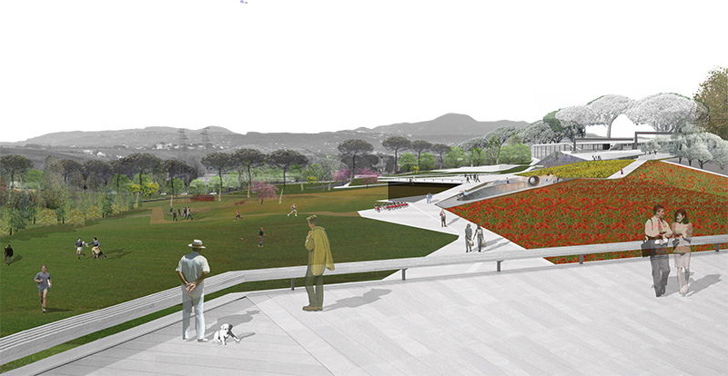
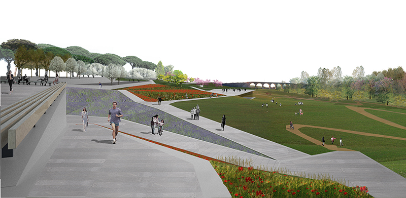
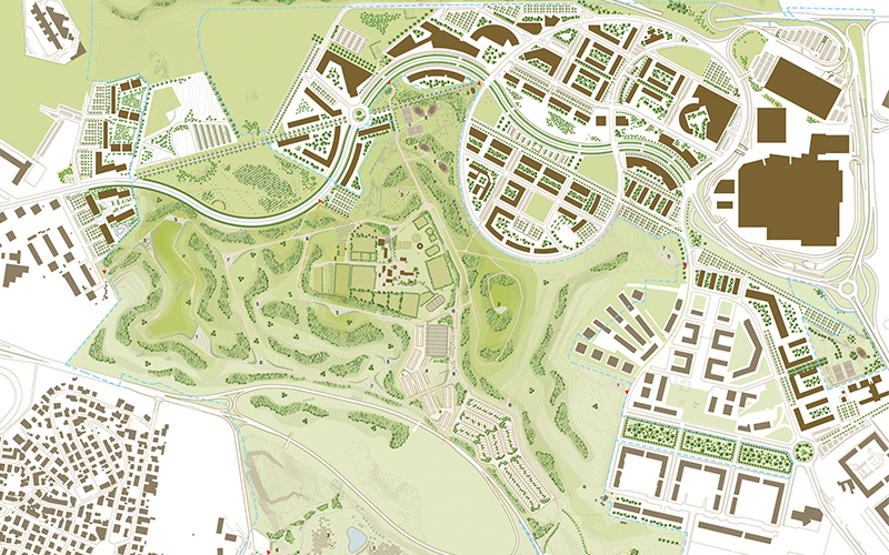
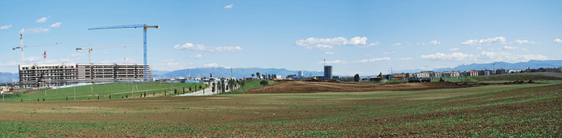
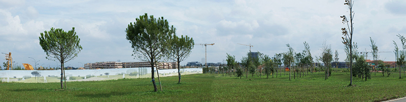
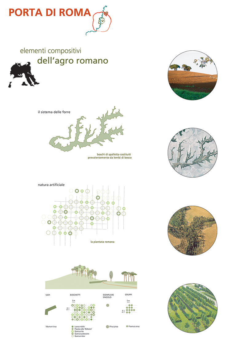
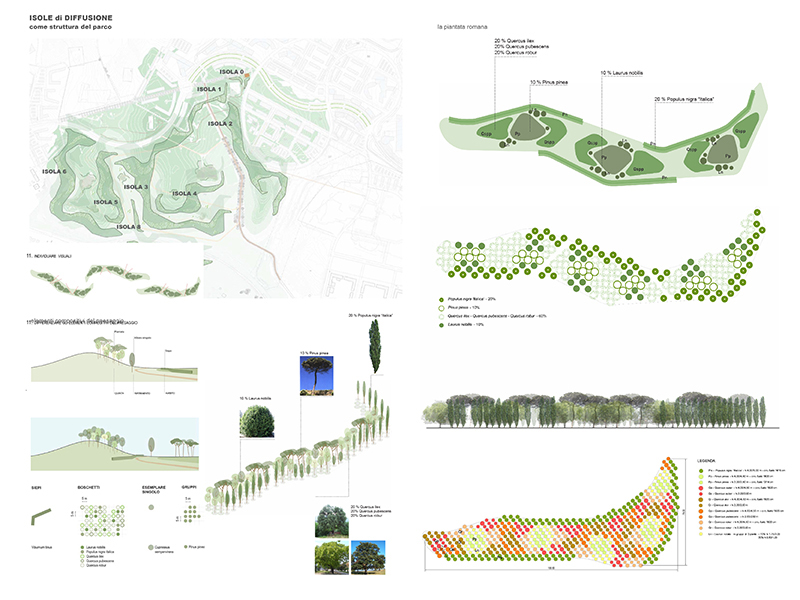
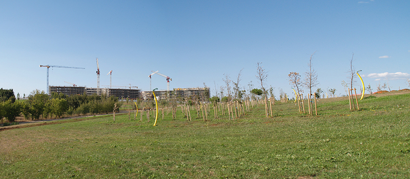
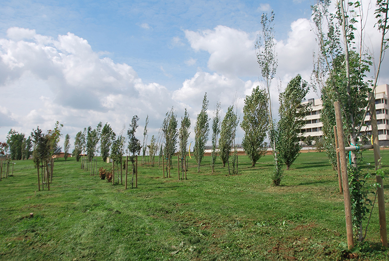
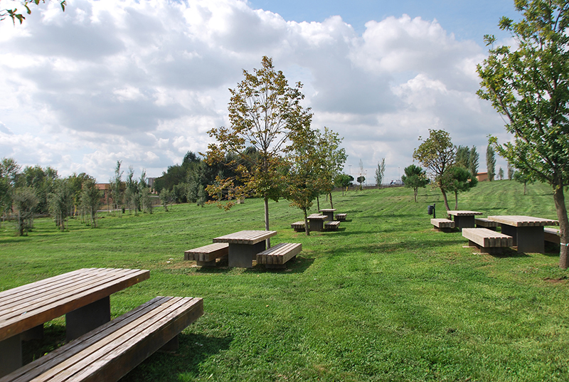
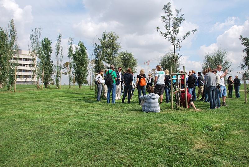
Parco delle Sabine is a large container of landscape, defined by the planting system, which becomes the correct method to “draw”, “set” and “arrange” a park of considerable size.

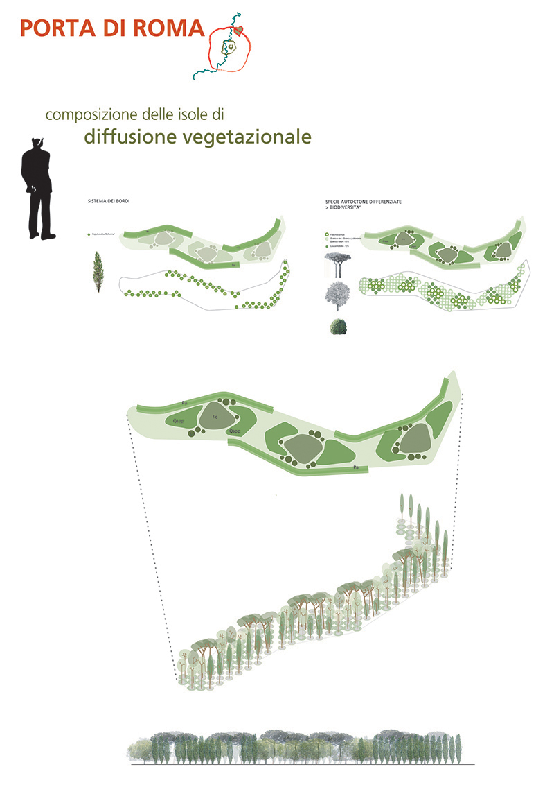
Starting from the study of the morphology and evolution of the landscape of the Agro Romano and its transformation over the centuries, we have created borders, backgrounds and sceneries, to define and to frame large clearings.

By planting islands of trees along the sides and edges of slopes, existing and newly defined, we have created a water collection systems, that counteracts the placer mining, in order to define a low-maintenance park able to “self sustaining”.

CREDITS

type: commission
status: built
client: Lamaro appalti, Porta di Roma s.r.l.